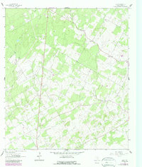
1961 Map of Alum
USGS Topo · Published 1987About this map
Alum Oil Field and Ecleto Oil Field define the industrial landscape of this section of Wilson County, where petroleum extraction and geological exploration have left a distinct mark on the rural terrain. The map captures the region in the early 1960s, showing a network of oil wells and specialized sites like the claypits scattered across the countryside. These features sit alongside established rural landmarks, such as Missionary Ch and the small settlement at Caddo.
Find a feature on this map
16 named features on this map. Tap any name to fly to it.
Don’t see what you’re looking for? This feature index may not catch every label — zoom into the map to look around manually.
Map Details
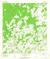
Editions of this 1961 Alum Map
2 editions found
Other maps of this area

1920 · Smiley
USGS Topo · 1:125,000

1936 · Floresville
USGS Topo · 1:62,500

1942 · Dewville
USGS Topo · 1:62,500

1953 · Seguin
USGS Topo · 1:250,000

1954 · San Antonio
USGS Topo · 1:250,000

1956 · Dewville
USGS Topo · 1:62,500

1957 · San Antonio
USGS Topo · 1:250,000

1957 · New Berlin
USGS Topo · 1:24,000

1958 · Seguin
USGS Topo · 1:250,000

1961 · Nixon
USGS Topo · 1:24,000