
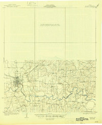
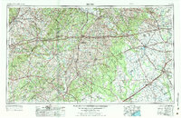
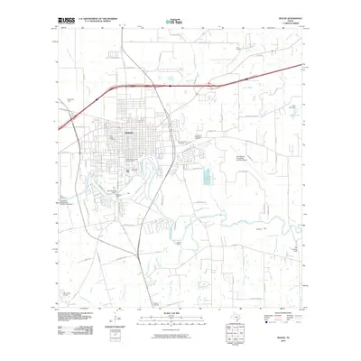
1958 Map of Seguin
USGS Topo · Published 1958About this map
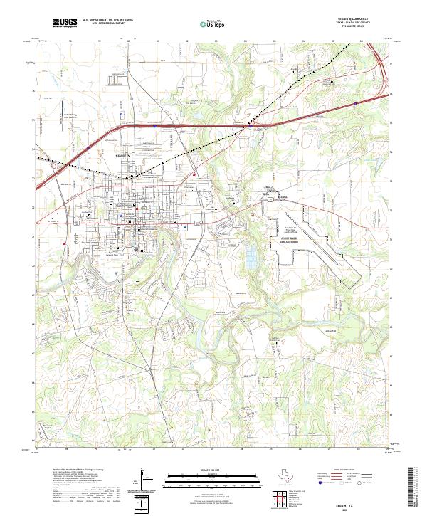
The Guadalupe River and Colorado River systems anchor this mid-century survey of the South Texas plains, a landscape transitioning between established agricultural hubs and a growing petrochemical economy. Major transit corridors define the region, with the Southern Pacific and Missouri-Kansas-Texas railroads connecting historic market towns like Seguin, Gonzales, and Columbus. The map reveals the extensive rural infrastructure of the late 1950s, showing hundreds of individual oil wells and tanks scattered across the eastern sections near Eagle Lake and Wharton. Significant landmarks like Stephen F. Austin State Park along the Brazos River provide recreation, while the placement of isolated rural identifiers such as the Behring Store and Rabb Prairie highlight the area's local commercial and geographic identity before modern interstate development shifted the regional focus.
Find a feature on this map
51 named features on this map. Tap any name to fly to it.
Don’t see what you’re looking for? This feature index may not catch every label — zoom into the map to look around manually.
Map Details
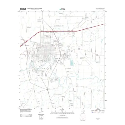
Editions of this 1958 Seguin Map
This is the sole edition of this map. No revisions or reprints were ever made.
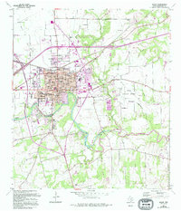
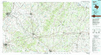
Historical Maps of San Marcos Through Time
10 maps found
1930 Seguin
Guadalupe County, TX
1953 Seguin
Guadalupe County, TX
1958 Seguin
Guadalupe County, TX
1964 Seguin
Guadalupe County, TX
1985 Seguin
Guadalupe County, TX
2010 Seguin
Guadalupe County, TX
2013 Seguin
Guadalupe County, TX
2016 Seguin
Guadalupe County, TX
2019 Seguin
Guadalupe County, TX
2022 Seguin
Guadalupe County, TX