
1893 Map of Bastrop
USGS Topo · Published 1893About this map
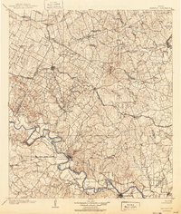
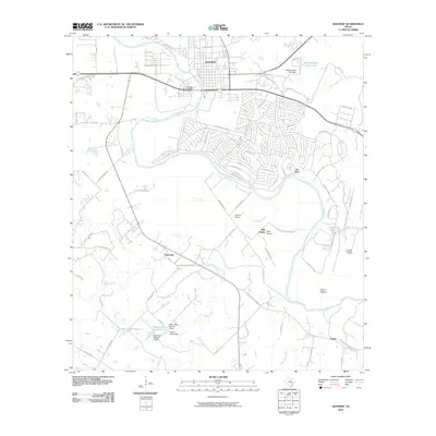
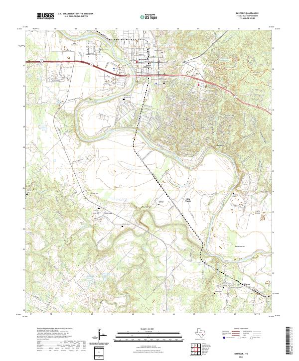
The Colorado River winds through the heart of this Central Texas landscape, anchoring the county seat of Bastrop and the surrounding agricultural bottomlands. Surveyed in 1884, the map documents a region in the midst of its railroad-driven expansion, with the Houston and Texas Central Railroad cutting a diagonal path through the northern half of the territory. This steel corridor gave rise to and sustained critical shipping points like Elgin, McDade, and Paige, which served as vital links for the cotton and timber economies of the era. To the northeast, the distinct high ground of the Yegua Knobs rises above the drainage basins of Second Yegua Creek and Third Yegua Creek. Smaller communities and rural landmarks such as Fedor, Alum Creek, and the riverside settlement of Hills Prairie provide specific points of interest for genealogists tracing family landholdings in the late nineteenth century.
Find a feature on this map
45 named features on this map. Tap any name to fly to it.
Don’t see what you’re looking for? This feature index may not catch every label — zoom into the map to look around manually.
Map Details
Editions of this 1893 Bastrop Map
This is the sole edition of this map. No revisions or reprints were ever made.
Historical Maps of Manor Through Time
11 maps found

1885 Bastrop
Bastrop County, TX
1893 Bastrop
Bastrop County, TX
1904 Bastrop
Bastrop County, TX
1948 Bastrop
Bastrop County, TX
1950 Bastrop
Bastrop County, TX
1982 Bastrop
Bastrop County, TX
2010 Bastrop
Bastrop County, TX
2013 Bastrop
Bastrop County, TX
2016 Bastrop
Bastrop County, TX
2019 Bastrop
Bastrop County, TX
2022 Bastrop
Bastrop County, TX