
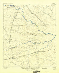
1887 Map of Taylor
USGS Topo · Published 1887About this map
Taylor anchors the southwestern portion of this Central Texas survey, established as a major rail hub where the International and Great Northern Railroad and the Missouri Pacific Railroad meet. The landscape in the late 1880s is defined by a dense network of watercourses, including the San Gabriel River and Little River, which carve through the blackland prairies of Williamson, Milam, and Bell counties.
Find a feature on this map
39 named features on this map. Tap any name to fly to it.
Don’t see what you’re looking for? This feature index may not catch every label — zoom into the map to look around manually.
Map Details
Editions of this 1887 Taylor Map
This is the sole edition of this map. No revisions or reprints were ever made.
Historical Maps of Hutto Through Time
10 maps found

1885 Taylor
Williamson County, TX
1887 Taylor
Williamson County, TX
1894 Taylor
Williamson County, TX
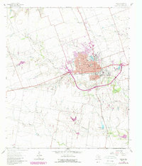
1964 Taylor
Williamson County, TX
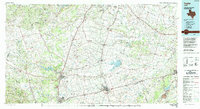
1985 Taylor
Williamson County, TX
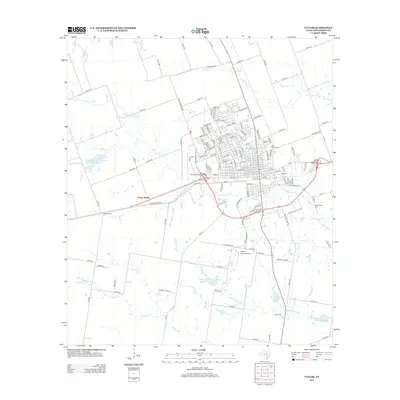
2010 Taylor
Williamson County, TX
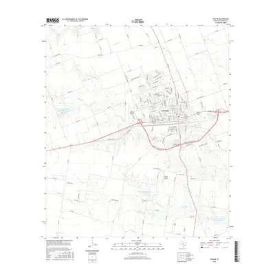
2013 Taylor
Williamson County, TX
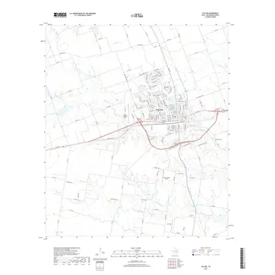
2016 Taylor
Williamson County, TX
2019 Taylor
Williamson County, TX
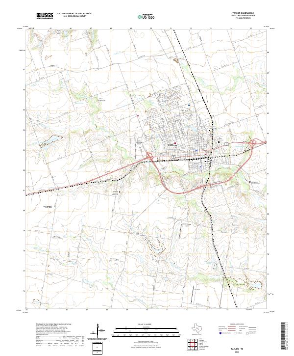
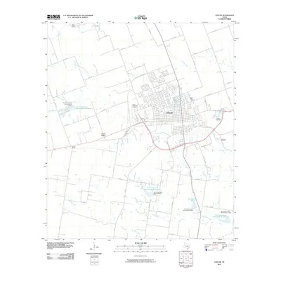
2022 Taylor
Williamson County, TX