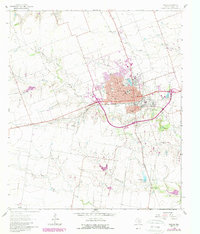
1894 Map of Taylor
USGS Topo · Published 1902About this map
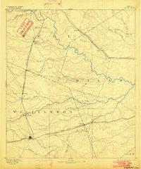
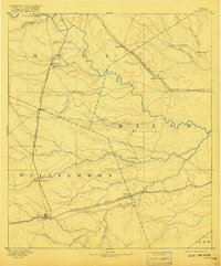
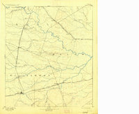
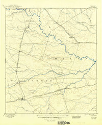
Central Texas rail corridors dominate this late 19th-century survey, revealing a landscape defined by the intersection of river valleys and emerging steam transport. The Taylor hub serves as a focal point in the southwest, where the International and Great Northern Railroad cuts eastward toward Thorndale, following the course of Brushy Creek. To the north, the Missouri Pacific Railroad links the settlements of Granger and Bartlett, tracing a path between the San Gabriel River and Donahoe Creek. These iron roads transformed former frontier outposts into vital shipping points for the surrounding blackland prairies.
Find a feature on this map
38 named features on this map. Tap any name to fly to it.
Don’t see what you’re looking for? This feature index may not catch every label — zoom into the map to look around manually.
Map Details
Editions of this 1894 Taylor Map
4 editions found
Historical Maps of Hutto Through Time
10 maps found

1885 Taylor
Williamson County, TX

1887 Taylor
Williamson County, TX
1894 Taylor
Williamson County, TX
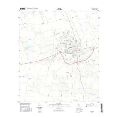
1964 Taylor
Williamson County, TX
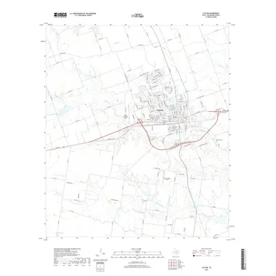
1985 Taylor
Williamson County, TX
2010 Taylor
Williamson County, TX
2013 Taylor
Williamson County, TX
2016 Taylor
Williamson County, TX
2019 Taylor
Williamson County, TX
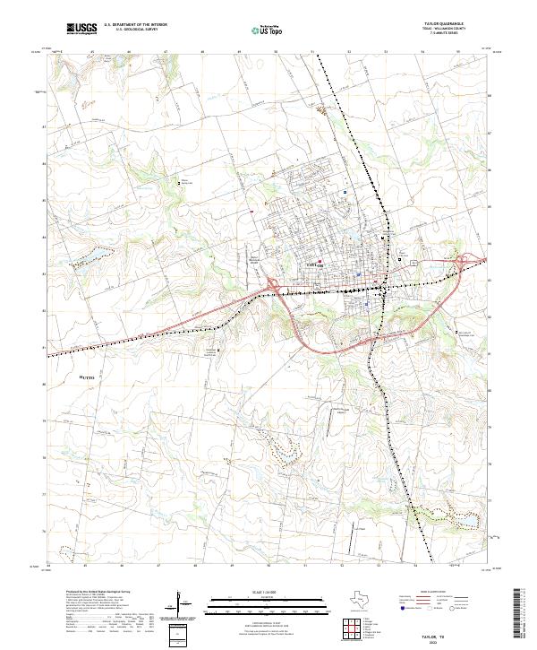
2022 Taylor
Williamson County, TX