
1904 Map of Bastrop
USGS Topo · Published 1904About this map
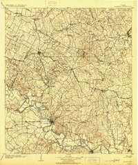
The Colorado River carves a winding path through the heart of the central Texas interior, defining the growth of Bastrop and Smithville at the turn of the century. This landscape reveals a bustling river-and-rail economy where ferries like Nashs Ferry and Burleson Ferry provided essential crossings before modern bridges dominated the corridor. Local industry is anchored by a Coal Mine north of Sayersville, while the surrounding countryside is dotted with family-named landmarks such as Washington Farm and Goodman.
Find a feature on this map
82 named features on this map. Tap any name to fly to it.
Don’t see what you’re looking for? This feature index may not catch every label — zoom into the map to look around manually.
Map Details
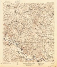
Editions of this 1904 Bastrop Map
3 editions found
Other maps of this area

1885 · Taylor
USGS Topo · 1:125,000

1885 · Bastrop
USGS Topo · 1:125,000

1887 · Taylor
USGS Topo · 1:125,000

1893 · Georgetown
USGS Topo · 1:125,000

1893 · Bastrop
USGS Topo · 1:125,000

1894 · Taylor
USGS Topo · 1:125,000

1896 · Austin
USGS Topo · 1:125,000

1897 · Austin
USGS Topo · 1:125,000

1901 · Flatonia
USGS Topo · 1:125,000

1910 · Austin
USGS Topo · 1:125,000