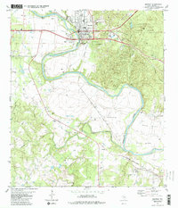
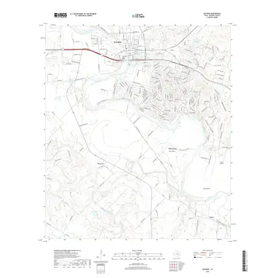
1904 Map of Bastrop
USGS Topo · Published 1944About this map
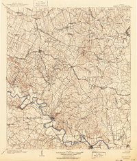
The Colorado River snakes through the heart of this Central Texas landscape, defining the agricultural and social geography of the region as it appeared at the turn of the century. Large river bends like Pope Bend and Hardeman Bend are punctuated by critical river crossings such as Nashs Ferry and Burleson Ferry, which served as vital links before modern bridging. The map reveals a robust rail-and-river economy, with the Missouri Kansas and Texas RR and the Houston and Texas Central RR intersecting the landscape, facilitating the growth of settlements like Elgin and Smithville. Local industry is evidenced by a Coal Mine situated north of the river, while community life is anchored by landmarks like Colorado Chapel and smaller family-associated locales such as Manors Store and Hills Prairie. These details offer a clear view of the transition from rural frontier settlements to established rail towns.
Find a feature on this map
75 named features on this map. Tap any name to fly to it.
Don’t see what you’re looking for? This feature index may not catch every label — zoom into the map to look around manually.
Map Details
Editions of this 1904 Bastrop Map
3 editions found

Historical Maps of Manor Through Time
11 maps found

1885 Bastrop
Bastrop County, TX

1893 Bastrop
Bastrop County, TX
1904 Bastrop
Bastrop County, TX
1948 Bastrop
Bastrop County, TX
1950 Bastrop
Bastrop County, TX
1982 Bastrop
Bastrop County, TX
2010 Bastrop
Bastrop County, TX
2013 Bastrop
Bastrop County, TX
2016 Bastrop
Bastrop County, TX
2019 Bastrop
Bastrop County, TX
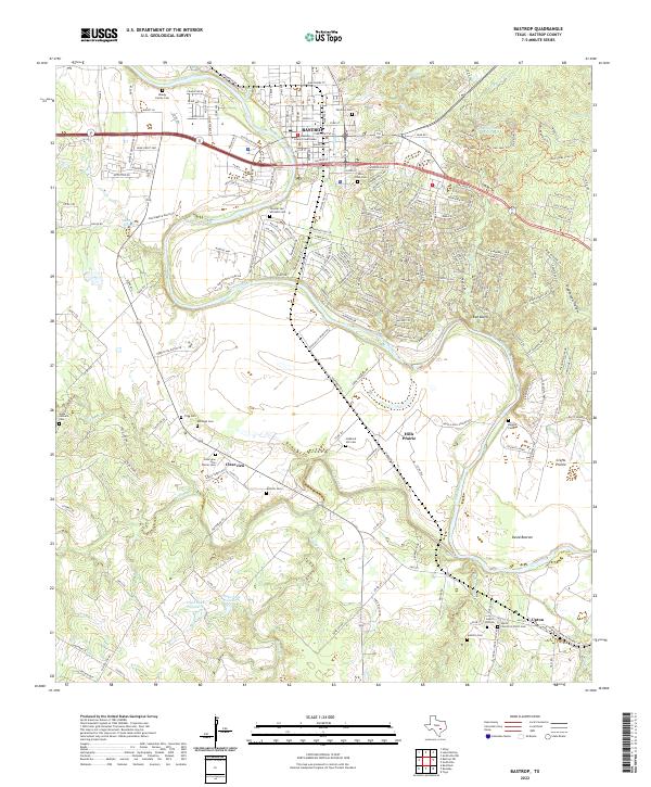
2022 Bastrop
Bastrop County, TX