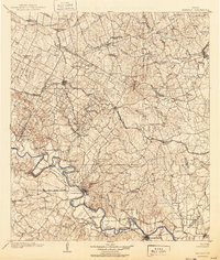
1885 Map of Bastrop
USGS Topo · Published 1885About this map
The Colorado River carves a winding path through the southern landscape of this Central Texas region, serving as the geographic anchor for the county seat of Bastrop. In the 1880s, the terrain was defined by the transition from the river bottomlands to the distinct uplands of the Yegua Knobs. The arrival of the Houston and Texas Central Railroad shifted the economic gravity of the area, sparking the growth of rail-side towns like Elgin, McDade, and Paige. These settlements provided vital shipping points for local agriculture, connecting the rural interiors of Bastrop and Lee counties to wider markets. Away from the tracks, smaller communities such as Beaukiss and Fedor represent the era's scattered rural post offices and school districts. The map meticulously tracks the intricate drainage network of creeks like Wilbarger Creek and Cedar Creek, which dictated the early settlement patterns of family farms and homesteads across the prairies.
Find a feature on this map
45 named features on this map. Tap any name to fly to it.
Don’t see what you’re looking for? This feature index may not catch every label — zoom into the map to look around manually.
Map Details
Editions of this 1885 Bastrop Map
This is the sole edition of this map. No revisions or reprints were ever made.
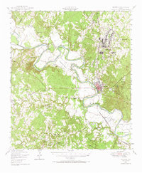
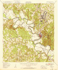
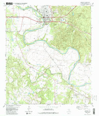
Historical Maps of Manor Through Time
7 maps found