
1894 Map of Blanco
USGS Topo · Published 1894About this map
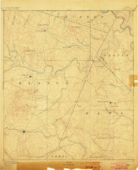
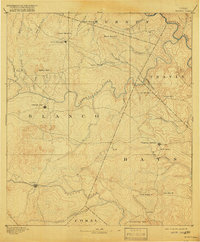
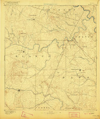
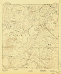
Pedernales River and the Blanco River snake through a landscape defined by ranching and small-scale settlement in this late nineteenth-century portrait of the Texas Hill Country. The map centers on the seat of Blanco and the rising hub of Johnson City, appearing here just decades after their founding. The topography is meticulously captured, revealing the prominence of Round Mountain and the distinctively named Lone Man Mt and Lone Woman Mt in the south.
Find a feature on this map
44 named features on this map. Tap any name to fly to it.
Don’t see what you’re looking for? This feature index may not catch every label — zoom into the map to look around manually.
Map Details
Editions of this 1894 Blanco Map
5 editions found
Other maps of this area

1887 · Llano
USGS Topo · 1:125,000

1887 · Blanco
USGS Topo · 1:125,000

1887 · Burnet
USGS Topo · 1:125,000

1893 · Georgetown
USGS Topo · 1:125,000

1893 · Burnet
USGS Topo · 1:125,000

1894 · Fredericksburg
USGS Topo · 1:125,000

1894 · Llano
USGS Topo · 1:125,000

1896 · Austin
USGS Topo · 1:125,000

1897 · Austin
USGS Topo · 1:125,000

1903 · Burnet
USGS Topo · 1:125,000