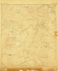
1894 Map of Blanco
USGS Topo · Published 1903About this map
The Pedernales River and Blanco River anchor this late-nineteenth-century portrait of the Texas Hill Country, captured by C. H. Fitch during surveys in 1884 and 1885. The landscape is defined by the headwaters of numerous creeks, including Onion Creek and Barton Creek, which flow eastward through Hays and Travis counties. Early settlement patterns are visible at Johnson City, Dripping Springs, and the town of Blanco, which served as regional hubs for the surrounding ranching and farming communities.
Find a feature on this map
43 named features on this map. Tap any name to fly to it.
Don’t see what you’re looking for? This feature index may not catch every label — zoom into the map to look around manually.
Map Details
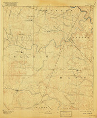
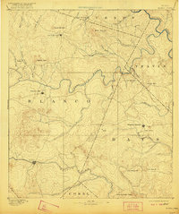
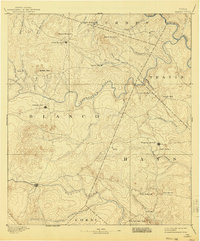
Editions of this 1894 Blanco Map
5 editions found
Other maps of this area

1887 · Llano
USGS Topo · 1:125,000

1887 · Blanco
USGS Topo · 1:125,000

1887 · Burnet
USGS Topo · 1:125,000

1893 · Georgetown
USGS Topo · 1:125,000

1893 · Burnet
USGS Topo · 1:125,000

1894 · Fredericksburg
USGS Topo · 1:125,000

1894 · Blanco
USGS Topo · 1:125,000

1894 · Llano
USGS Topo · 1:125,000

1896 · Austin
USGS Topo · 1:125,000

1897 · Austin
USGS Topo · 1:125,000