
Loading...
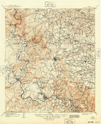
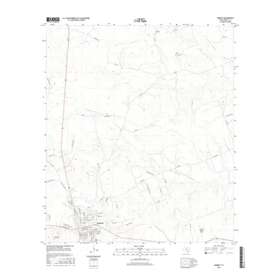
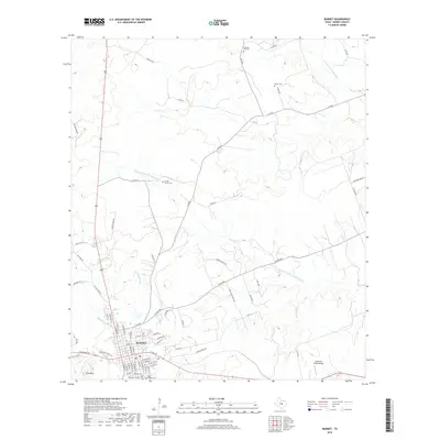
Loading map...1893 Map of Burnet
USGS Topo · Published 1893About this map
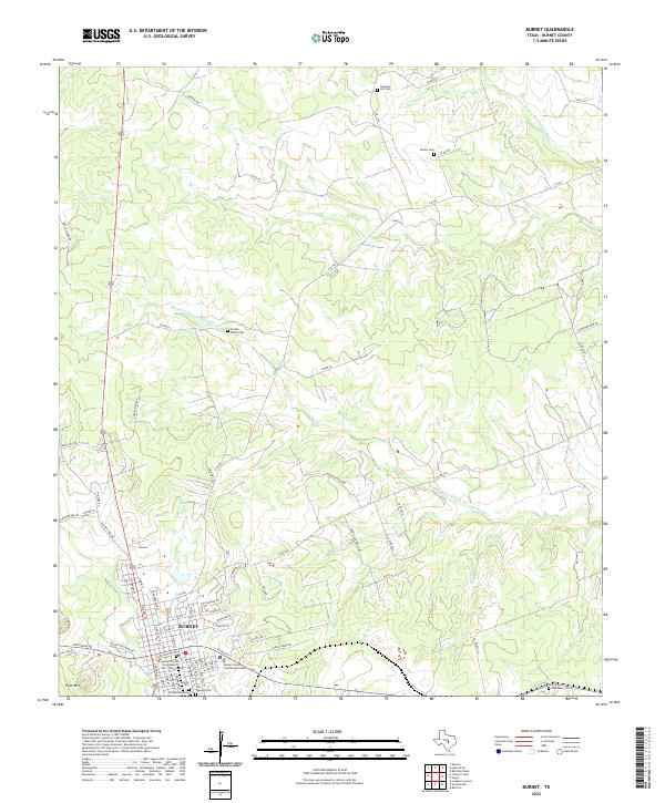
The Colorado River and its many tributaries carve through the Central Texas landscape in this 1885 survey. Centered on the town of Burnet, the geography reveals a transition from the rugged limestone heights of Post Mountain and Potato Top Peak to the burgeoning industrial activity at Marble Falls. Transport relies heavily on water and rail, with the Austin and Northwestern Railroad cutting a path eastward toward Bertram.
Find a feature on this map
71 named features on this map. Tap any name to fly to it.
Don’t see what you’re looking for? This feature index may not catch every label — zoom into the map to look around manually.
Map Details
Date Portrayed1893
Date Published1893
PublisherU.S. Geological Survey
Map TypeTopographic
Scale1:125,000
Physical Dimensions16.6 x 20.1 inches
Editions of this 1893 Burnet Map
This is the sole edition of this map. No revisions or reprints were ever made.
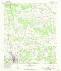
Historical Maps of Marble Falls Through Time
10 maps found


Featured Locations
Source Details
SourceU.S. Geological Survey
CopyrightPublic Domain