
Loading...
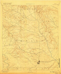
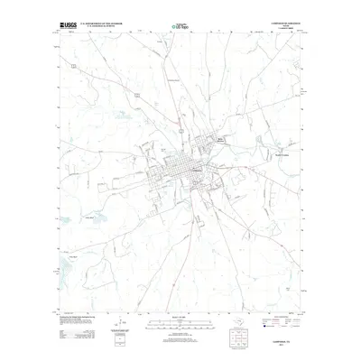
Loading map...1887 Map of Lampasas
USGS Topo · Published 1887About this map
Lampasas serves as the primary hub of this Central Texas landscape, captured in the late 1880s as the Gulf Colorado and Santa Fe Railroad provided critical connectivity to the region. The map details a transition from the river-fed valleys of the Colorado River and its numerous tributaries like School Creek and Sulphur Creek to a more broken upland terrain marked by family-named landmarks and essential early commerce.
Find a feature on this map
49 named features on this map. Tap any name to fly to it.
Don’t see what you’re looking for? This feature index may not catch every label — zoom into the map to look around manually.
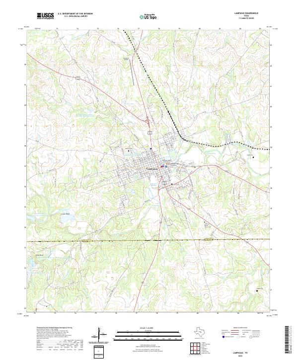
Map Details
Date Portrayed1887
Date Published1887
PublisherU.S. Geological Survey
Map TypeTopographic
Scale1:125,000
Physical Dimensions16.5 x 18.7 inches
Editions of this 1887 Lampasas Map
This is the sole edition of this map. No revisions or reprints were ever made.
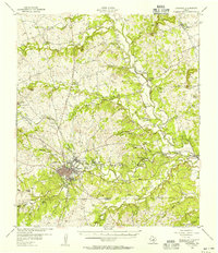
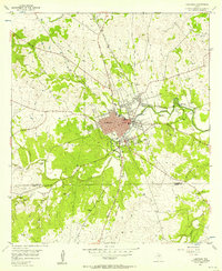
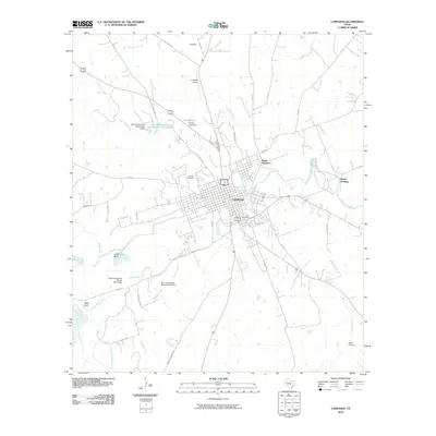
Historical Maps of Lampasas Through Time
9 maps found
Featured Locations
Source Details
SourceU.S. Geological Survey
CopyrightPublic Domain