
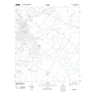
1889 Map of Brownwood
USGS Topo · Published 1889About this map
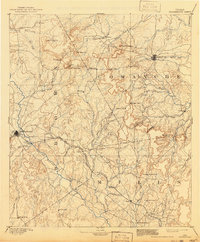
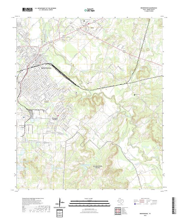
Brownwood and Comanche serve as the primary hubs in this late 19th-century reconnaissance, situated at the crossroads of early Central Texas development. The Gulf Colorado and Santa Fe Railroad cuts a diagonal path through the landscape, linking settlements like Ricker Branch and Zephyr as it follows the drainage of Pecan Bayou. The map reveals a frontier in transition, where early rural centers like Williams Ranch and Hydesport were still prominent landmarks before shifting transportation patterns altered the regional hierarchy.
Find a feature on this map
62 named features on this map. Tap any name to fly to it.
Don’t see what you’re looking for? This feature index may not catch every label — zoom into the map to look around manually.
Map Details
Editions of this 1889 Brownwood Map
This is the sole edition of this map. No revisions or reprints were ever made.
Historical Maps of Brownwood Through Time
10 maps found
1889 Brownwood
Brown County, TX
1894 Brownwood
Brown County, TX
1954 Brownwood
Brown County, TX
1980 Brownwood
Brown County, TX
1996 Brownwood
Brown County, TX
2010 Brownwood
Brown County, TX
2013 Brownwood
Brown County, TX
2016 Brownwood
Brown County, TX
2019 Brownwood
Brown County, TX
2022 Brownwood
Brown County, TX