
1894 Map of Hamilton
USGS Topo · Published 1894About this map
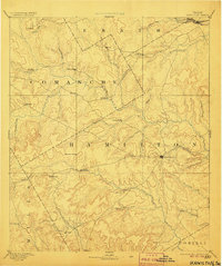
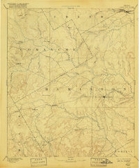
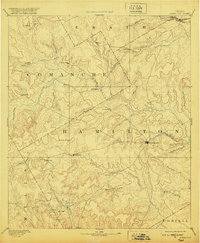
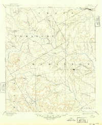
The Leon River and its many tributaries, including Waring Creek and Resley Creek, dominate this central Texas landscape surveyed in the mid-1880s. The terrain transitions from the headwaters of the Bosque River in the northeast toward the distinctive Hoover Knobs in the west, illustrating the limestone-cut creek valleys characteristic of the region. Settlement is concentrated around the county seat of Hamilton and dispersed through several rural crossroads that served the agricultural community of the era. The Texas Central Railroad barely clips the northern edge of the sheet, underscoring the reliance on overland trails and river crossings for most of the population. One can trace the early layout of communities like Pottsville, Gentry Mill, and Indian Gap, which formed the social hubs for ranchers and farmers before later twentieth-century road developments altered the local geography.
Find a feature on this map
47 named features on this map. Tap any name to fly to it.
Don’t see what you’re looking for? This feature index may not catch every label — zoom into the map to look around manually.
Map Details
Editions of this 1894 Hamilton Map
5 editions found
Other maps of this area

1885 · San Saba
USGS Topo · 1:125,000

1887 · Lampasas
USGS Topo · 1:125,000

1888 · Hamilton
USGS Topo · 1:125,000

1888 · Meridian
USGS Topo · 1:125,000

1889 · Granbury
USGS Topo · 1:125,000

1889 · Brownwood
USGS Topo · 1:125,000

1890 · Stephenville
USGS Topo · 1:125,000

1894 · Meridian
USGS Topo · 1:125,000

1894 · Lampasas
USGS Topo · 1:125,000

1894 · Eastland
USGS Topo · 1:125,000