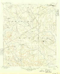
1894 Map of Hamilton
USGS Topo · Published 1949About this map
Hamilton serves as the central hub of this Central Texas landscape, surveyed in the late 19th century when the region's economy was tied closely to the cattle and farming potential of the Leon River and its numerous tributaries. The map captures a moment when the Texas Central Railroad barely clips the northern edge of the sheet, leaving much of the area dependent on wagon roads connecting small agricultural communities like Gentry Mill, Hazle Dell, and Indian Gap. The terrain is defined by the drainage divide between the Leon and the Lampasas River, with the Hoover Knobs providing a rare named vertical landmark in a territory otherwise segmented by winding creeks such as Cowhouse Creek and Mustang Creek. This detailed topographical record shows the early settlement pattern of the Cross Timbers and Grand Prairie regions, reflecting a network of dispersed homesteads and village centers before the automotive era.
Find a feature on this map
46 named features on this map. Tap any name to fly to it.
Don’t see what you’re looking for? This feature index may not catch every label — zoom into the map to look around manually.
Map Details
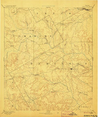
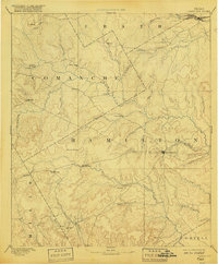
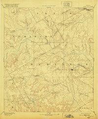
Editions of this 1894 Hamilton Map
5 editions found
Other maps of this area

1885 · San Saba
USGS Topo · 1:125,000

1887 · Lampasas
USGS Topo · 1:125,000

1888 · Hamilton
USGS Topo · 1:125,000

1888 · Meridian
USGS Topo · 1:125,000

1889 · Granbury
USGS Topo · 1:125,000

1889 · Brownwood
USGS Topo · 1:125,000

1890 · Stephenville
USGS Topo · 1:125,000

1894 · Hamilton
USGS Topo · 1:125,000

1894 · Meridian
USGS Topo · 1:125,000

1894 · Lampasas
USGS Topo · 1:125,000