
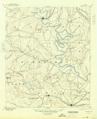
1889 Map of Granbury
USGS Topo · Published 1889About this map
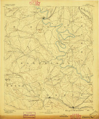
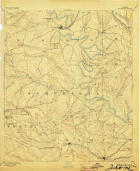
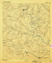
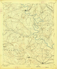
The Brazos River carves a dramatic serpentine path through the heart of this North Texas landscape, defined by sharp oxbows like De Cordova Bend, Abby Bend, and Mitchell Bend. These dramatic water features, along with prominent landmarks like Comanche Peak and Barnard Knob, provided essential navigational points for early settlers before the era of widespread damming and modern reservoirs. The map documents the late 19th-century growth of Granbury and Glenrose, then emerging as important regional hubs in Hood and Somervell counties.
Find a feature on this map
91 named features on this map. Tap any name to fly to it.
Don’t see what you’re looking for? This feature index may not catch every label — zoom into the map to look around manually.
Map Details
Editions of this 1889 Granbury Map
6 editions found
Other maps of this area

1888 · Hamilton
USGS Topo · 1:125,000

1888 · Meridian
USGS Topo · 1:125,000

1890 · Stephenville
USGS Topo · 1:125,000

1891 · Weatherford
USGS Topo · 1:125,000

1891 · Palo Pinto
USGS Topo · 1:125,000

1891 · Cleburne
USGS Topo · 1:125,000

1892 · Waco
USGS Topo · 1:125,000

1893 · Weatherford
USGS Topo · 1:125,000

1894 · Hamilton
USGS Topo · 1:125,000

1894 · Meridian
USGS Topo · 1:125,000