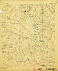
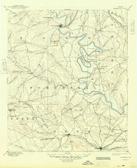
1889 Map of Granbury
USGS Topo · Published 1903About this map
The Brazos River carves a serpentine path through the heart of north-central Texas in this 1887 survey, defining the boundaries of Hood, Somervell, and Johnson counties. Significant river features like De Cordova Bend, Abby Bend, and Mitchell Bend illustrate the dramatic oxbows that shaped local travel and irrigation before modern water management. The settlement of Granbury sits at a critical crossing point of the Fort Worth and Rio Grande Railroad, while Glenrose anchors the landscape to the south near the confluence of Paluxy Creek.
Find a feature on this map
88 named features on this map. Tap any name to fly to it.
Don’t see what you’re looking for? This feature index may not catch every label — zoom into the map to look around manually.
Map Details
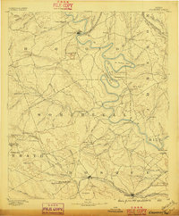
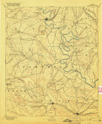
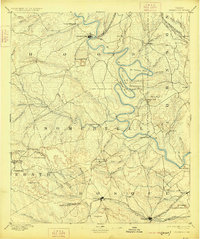
Editions of this 1889 Granbury Map
6 editions found
Other maps of this area

1888 · Hamilton
USGS Topo · 1:125,000

1888 · Meridian
USGS Topo · 1:125,000

1889 · Granbury
USGS Topo · 1:125,000

1890 · Stephenville
USGS Topo · 1:125,000

1891 · Weatherford
USGS Topo · 1:125,000

1891 · Palo Pinto
USGS Topo · 1:125,000

1891 · Cleburne
USGS Topo · 1:125,000

1892 · Waco
USGS Topo · 1:125,000

1893 · Weatherford
USGS Topo · 1:125,000

1894 · Hamilton
USGS Topo · 1:125,000