Loading...
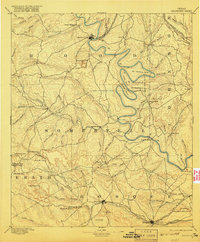
Loading map...1889 Map of Granbury
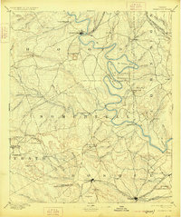
USGS Topo · Published 1949About this map
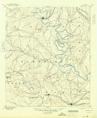
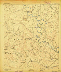
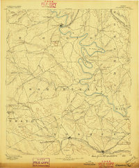
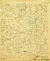
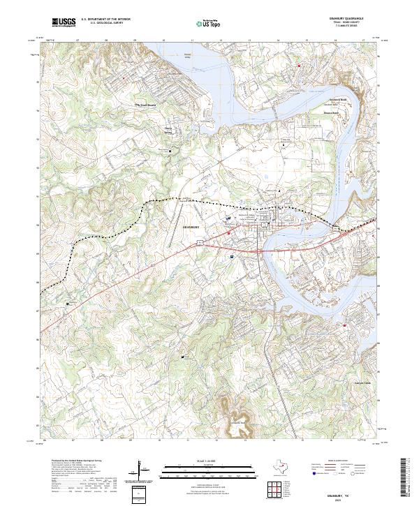
Granbury and the meandering Brazos River dominate this landscape surveyed in 1887, capturing the central Texas frontier at a moment of transition. The river carves dramatic oxbows such as De Cordova Bend, Abby Bend, and Mitchell Bend, creating fertile pockets for early settlements. Beyond the river valleys, the terrain rises toward the iconic Comanche Peak and the high ridges of Chalk Mountain and Lone Mountain.
Find a feature on this map
89 named features on this map. Tap any name to fly to it.
Don’t see what you’re looking for? This feature index may not catch every label — zoom into the map to look around manually.
Map Details
Date Portrayed1889
Date Published1949
PublisherU.S. Geological Survey
Map TypeTopographic
Scale1:125,000
Physical Dimensions17 x 20.8 inches
Editions of this 1889 Granbury Map
6 editions found
Historical Maps of Cleburne Through Time
7 maps found
Featured Locations
Source Details
SourceU.S. Geological Survey
CopyrightPublic Domain