
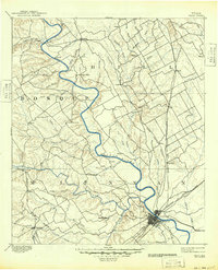
1892 Map of Waco
USGS Topo · Published 1892About this map
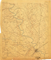
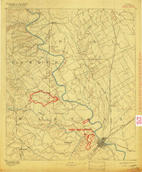
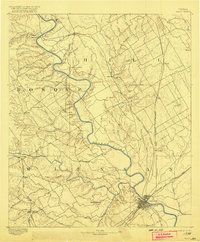
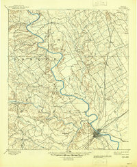
Waco serves as the focal point of this late-nineteenth-century landscape, situated at the confluence of the Brazos River and several major rail lines including the St. Louis & S. Ry. and the Texas & Arkansas Railway. The map illustrates a region transitioning into a vital transportation hub, with a dense network of smaller settlements such as China Springs, Speegleville, and West supporting the agricultural and rail-based economy of McLennan, Hill, and Bosque counties.
Find a feature on this map
58 named features on this map. Tap any name to fly to it.
Don’t see what you’re looking for? This feature index may not catch every label — zoom into the map to look around manually.
Map Details
Editions of this 1892 Waco Map
6 editions found
Other maps of this area

1888 · Meridian
USGS Topo · 1:125,000

1889 · Granbury
USGS Topo · 1:125,000

1891 · Cleburne
USGS Topo · 1:125,000

1892 · Temple
USGS Topo · 1:125,000

1894 · Meridian
USGS Topo · 1:125,000

1894 · Gatesville
USGS Topo · 1:125,000

1894 · Cleburne
USGS Topo · 1:125,000

1920 · Waco
USGS Topo · 1:125,000

1920 · Mart
USGS Topo · 1:62,500

1924 · Waco 4-c
USGS Topo · 1:48,000