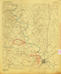
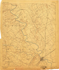
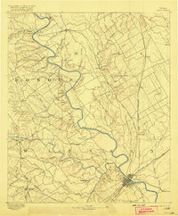
1892 Map of Waco
USGS Topo · Published 1918About this map
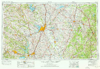
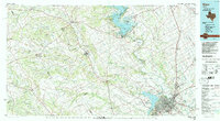
The Brazos River snakes through the heart of this Central Texas landscape, anchoring a region defined by the convergence of the North Bosque River, South Bosque River, and Middle Bosque River near the city of Waco. This 1918 reissue of an 1892 survey includes significant red overprints identifying the sprawling boundaries of Camp Mac Arthur, a Great War-era military training facility positioned just northwest of the city center. The map reveals a robust late-19th-century rail network, with the Texas Central Railway and the Missouri Kansas and Texas Railway facilitating the movement of goods and people through rural hubs like Elm Mott and West. Settlements such as China Springs, Valley Mills, and Speegleville are clearly depicted alongside numerous family-named creeks and branches, providing a detailed record of the area's rural development before modern urbanization.
Find a feature on this map
58 named features on this map. Tap any name to fly to it.
Don’t see what you’re looking for? This feature index may not catch every label — zoom into the map to look around manually.
Map Details
Editions of this 1892 Waco Map
6 editions found

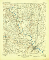
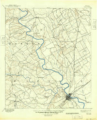
Historical Maps of Waco Through Time
5 maps found