Old Maps of Hillsboro, Texas
Explore 34 old maps of Hillsboro, spanning from 1891 to today. These high-resolution historic maps reveal how streets, neighborhoods, landmarks, and natural features evolved over time — perfect for genealogy, metal detecting, research, and local history exploration.
What you can do with these maps:
- See how Hillsboro changed over time: Compare historical maps to modern-day views to trace roads, homesites, rail lines & more.
- View detailed metadata: Each map includes creators, publishers, year, scale, and archive source.
- Overlay maps with satellite & LiDAR: Visualize the past alongside modern tools to explore terrain & human change.
- Trusted historical sources: Maps sourced from the USGS, Library of Congress, and other archives.
- Access maps your way: View online, download high-res files, or order prints for personal or research use.
Start exploring old maps of Hillsboro to uncover forgotten places, hidden landmarks, and the deep history beneath your feet.
Hillsboro, TX maps
(34)- 1891 Map of Cleburne
 1891 Cleburne1891 Print · USGSNorth Texas in the late nineteenth century was a land transformed by new iron rails and established river crossings. Genealogists and researchers can trace the early footprints of Cleburne and Hillsboro alongside vanished stops like Port Graham and Files Valley.
 - 1892 Map of Waco
 1892 Waco1892 Print · USGSCentral Texas was rapidly expanding during the 1890s as a rail and river commerce hub. Genealogists and researchers can trace the early footprints of Waco and its surrounding communities like China Springs, Valley Mills, and West along five distinct railway lines.6 unique versions available
 - 1894 Map of Cleburne
 1894 Cleburne1894 Print · USGSNorth Central Texas was a burgeoning rail and cattle hub in the late nineteenth century. Genealogists and historians can trace the growth of Cleburne and Hillsboro alongside vanished river landings like Fort Graham and Kimball on the Brazos River.5 unique versions available
 - 1920 Map of Waco
 1920 Waco1920 Print · USGSWaco and its surrounding rail corridors are captured in high detail shortly after the first World War. Researchers can trace the legacy of Rifle Range Camp MacArthur and vanished river crossings like Greenwoods Ferry and Old Towash.
 - 1954 Map of Dallas, 1963 Print
 1954 Dallas1963 Print · USGSNorth Texas in the mid-fifties and early sixties reveals a landscape of rapid urban growth and water management. Genealogists and historians can trace the evolution of the metroplex through landmarks like Hensley Field, Boles Orphan Home, and the Texas & Pacific RR.4 unique versions available
 - 1954 Map of Waco, 1964 Print
 1954 Waco1964 Print · USGSCentral Texas during the mid-fifties shows a landscape defined by the expansion of Fort Hood Military Reservation and the Brazos river system. Trace the rail lines and early airfields like James Connally Air Force Base and settlements like Temple or McGregor.2 unique versions available
 - 1955 Map of Waco
 1955 Waco1955 Print · USGSCentral Texas at the peak of the Cold War reveals a landscape defined by military expansion and major water projects. Researchers can trace the footprints of Fort Hood, the waters of Lake Waco, and regional hubs like Temple or Mexia.
 - 1956 Map of Abbott, 1957 Print
 1956 Abbott1957 Print · USGSHill County agricultural life and infrastructure are captured in the mid-fifties, just as highway expansion began to reshape the landscape. Researchers can locate family roots at Jessie Cem or trace the early rail economy through the Abbott and Winslow depots.2 unique versions available
 - 1957 Map of Peoria
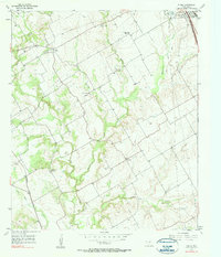 1957 Peoria1957 Print · USGSHill County is shown in the mid-1950s as a landscape of rural communities and evolving infrastructure just west of the county seat. Researchers can locate local landmarks like Peoria, Vaughan, and several family burial grounds including Hickey Cem and Odom Cem.2 unique versions available
 - 1958 Map of Dallas
 1958 Dallas1958 Print · USGSNorth Texas in the late fifties shows the dramatic expansion of the Metroplex as it absorbs surrounding farm towns. Genealogists and historians can trace old rail lines like the Missouri-Kansas-Texas and locate early lakefront developments at Eagle Mountain Lake and Lake Worth Village.
 - 1966 Map of Hillsboro West, 1968 Print
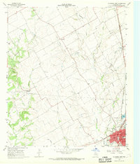 1966 Hillsboro West1968 Print · USGSHill County is captured in the mid-sixties as the local rail and agricultural networks still defined the landscape. Genealogists and historians can trace family locations near Mayfield, locate the Woodbury Cem, or follow the Old Railroad Grade through the countryside.2 unique versions available
 - 1966 Map of Hillsboro East, 1968 Print
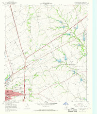 1966 Hillsboro East1968 Print · USGSHillsboro was transitioning into a modern regional hub in the mid-1960s, balanced between its rail-road heritage and new educational institutions. Trace the development of Hill Jr College and Katy Lake, or locate family sites near Park Ridge Cem and Love View Ch.2 unique versions available
 - 1985 Map of Cleburne
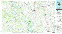 1985 Cleburne1985 Print · USGSThe Brazos River valley and its major mid-century reservoirs dominate this North Central Texas landscape during the 1980s. Local researchers can trace family roots through sites like Mt Carmel Ch, Oak Hill Sch, and the unique river bends near Glen Rose.2 unique versions available
 - 1985 Map of Waco
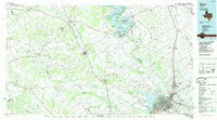 1985 Waco1985 Print · USGSCentral Texas in the mid-eighties shows a landscape of river-fed lakes and bustling transit hubs as the region expanded. Genealogists and historians can trace rail lines like the Missouri Kansas Texas or locate sites such as Rosemound Cem and Meridian State Park.2 unique versions available
 - 2010 Map of Abbott, 2010 Print
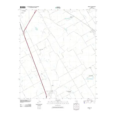 2010 Abbott2010 Print · USGSTexas blackland prairie life in Hill County is captured here during a time of transition between traditional farming and modern infrastructure. Genealogists can trace family roots through several local burial grounds including Abbott Cemetery, Jessie Cemetery, and Bell Springs Cemetery.
 - 2010 Map of Hillsboro West, 2010 Print
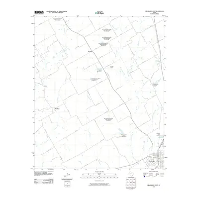 2010 Hillsboro West2010 Print · USGSHill County at the start of the 2010s shows a landscape defined by its agricultural roots and extensive modern water management. Genealogists and local historians can trace family sites at Woodbury and Prairiedale Cemetery or explore the smaller communities of Mayfield and Lovelace.
 - 2010 Map of Hillsboro East, 2010 Print
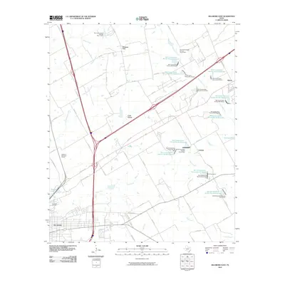 2010 Hillsboro East2010 Print · USGSHillsboro and its eastern environs are shown in Hill County during the first decade of the millennium. Genealogists and researchers can trace local landmarks like Park Ridge Cemetery, the community of Carls Corner, and dozens of watershed reservoirs.
 - 2010 Map of Peoria, 2010 Print
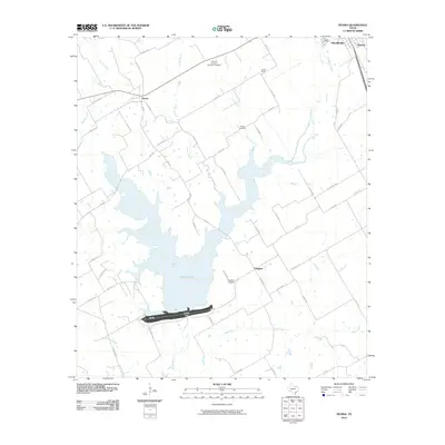 2010 Peoria2010 Print · USGSHill County is captured here in the early twenty-first century, centered on the significant reservoir of Aquilla Lake. Researchers can trace local lineage through rural landmarks like Vaughan Cemetery and the settlements of Peoria and Union Bluff.
 - 2012 Map of Hillsboro East, 2012 Print
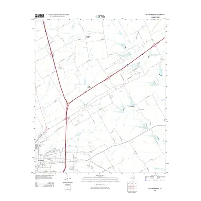 2012 Hillsboro East2012 Print · USGSHillsboro and its eastern ranch lands are captured here during a period of modern commercial expansion and agricultural water management. Genealogists and local historians can trace the Ridge Cem and Hill Coll grounds, alongside rural hubs like Carls Corner and Midway.
 - 2012 Map of Hillsboro West, 2012 Print
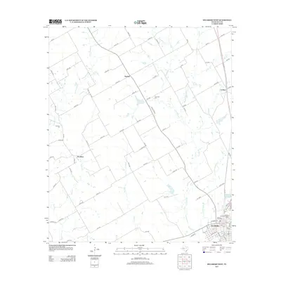 2012 Hillsboro West2012 Print · USGSHill County at the start of the 2010s reveals a blend of historic preservation and agricultural tradition. Researchers can trace local heritage through the Hillsboro Residential Historic District and the sites of Woodbury Cemetery and Mayfield.
 - 2012 Map of Abbott, 2012 Print
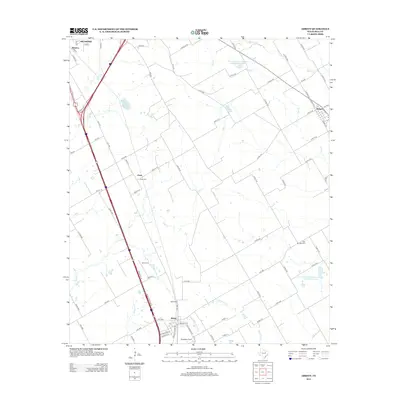 2012 Abbott2012 Print · USGSThe Hill County prairie south of Hillsboro is captured here during the early twenty-first century as Interstate 35 cuts through traditional ranching land. Researchers can pinpoint historic family plots like Jessie Cem and Fatina Cem or the rural aviation site at Stapleton Field.
 - 2012 Map of Peoria, 2012 Print
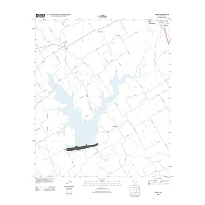 2012 Peoria2012 Print · USGSHill County at the start of the 2010s is defined by the expansion of the Aquilla Lake reservoir and the rural crossroads of the Texas Blackland Prairies. Researchers can trace local lineage through sites like Vaughan Cem, the Culp School, and the community of Peoria.
 - 2016 Map of Abbott, 2016 Print
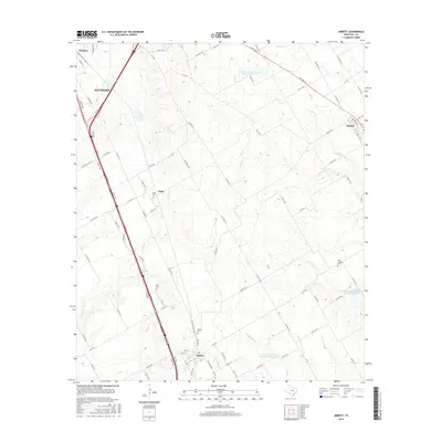 2016 Abbott2016 Print · USGSHill County is shown in detail during the mid-2010s, centered on the community of Abbott and its surrounding agricultural plains. Genealogists and local historians can locate several historic burial grounds, such as Fatina Cem and Bell Springs Cem.
 - 2016 Map of Peoria, 2016 Print
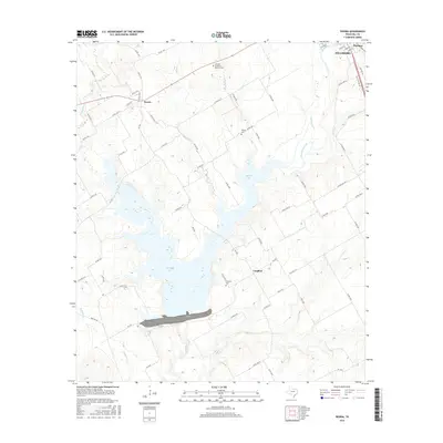 2016 Peoria2016 Print · USGSHill County at the mid-2010s shows a landscape of long-standing rural communities oriented around the waters of Aquilla Lake. Genealogists and local historians can trace legacy sites like Peoria, the Vaughan Cem, and Hickey Cem.
 - 2016 Map of Hillsboro East, 2016 Print
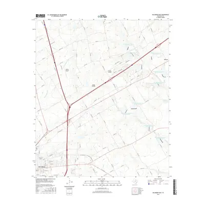 2016 Hillsboro East2016 Print · USGSHillsboro and its northeastern neighbors come into focus in the mid-2010s, revealing a landscape where civic expansion meets agricultural water management. Researchers can trace the development of Hill Coll and locate rural landmarks like Park Ridge Cem and Isenberg Lake.
Showing maps 1-25 of 34
Top cities near Hillsboro
- West historical maps
- Italy historical maps
- Whitney historical maps
- Itasca historical maps
- Milford historical maps
- Abbott historical maps
See more
Top neighborhoods of Hillsboro
Frequently asked questions
- What are the different types of historical maps available for Hillsboro?
- What is the oldest map of Hillsboro?
- Where can I purchase historical maps of Hillsboro for my home or office?
- Where can I download high-res historical maps of Hillsboro?
- Are there historical topographic maps available for Hillsboro?
- Is there historical aerial imagery available for Hillsboro?
- Where are historical maps of Hillsboro sourced from?