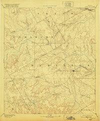
1894 Map of Hamilton
USGS Topo · Published 1920About this map
Hamilton serves as the central hub of this Central Texas landscape, captured shortly after its late-19th-century survey. The terrain is defined by a dendritic network of creeks and river systems, including the Leon River, Bosque River, and Lampasas River. These waterways dictated the placement of early rural communities such as Gentry Mill and Pottsville, while the northern edge of the map shows the early influence of the Texas Central Railroad. Significant topographic features like Hoover Knobs stand out amidst the drainage basins of Pecan Creek and Cowhouse Creek. This reconnaissance-level survey reveals a settlement pattern focused on agricultural pockets and natural crossroads, providing a detailed look at the county seat and outlying hamlets like Indian Gap and Hazle Dell before the further consolidation of rural populations.
Find a feature on this map
47 named features on this map. Tap any name to fly to it.
Don’t see what you’re looking for? This feature index may not catch every label — zoom into the map to look around manually.
Map Details
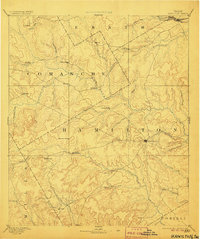
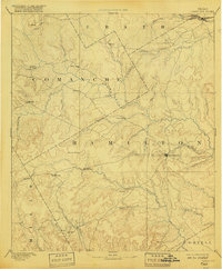
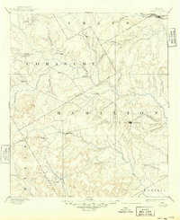
Editions of this 1894 Hamilton Map
5 editions found
Other maps of this area

1885 · San Saba
USGS Topo · 1:125,000

1887 · Lampasas
USGS Topo · 1:125,000

1888 · Hamilton
USGS Topo · 1:125,000

1888 · Meridian
USGS Topo · 1:125,000

1889 · Granbury
USGS Topo · 1:125,000

1889 · Brownwood
USGS Topo · 1:125,000

1890 · Stephenville
USGS Topo · 1:125,000

1894 · Hamilton
USGS Topo · 1:125,000

1894 · Meridian
USGS Topo · 1:125,000

1894 · Lampasas
USGS Topo · 1:125,000