
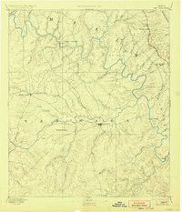
1885 Map of San Saba
USGS Topo · Published 1885About this map
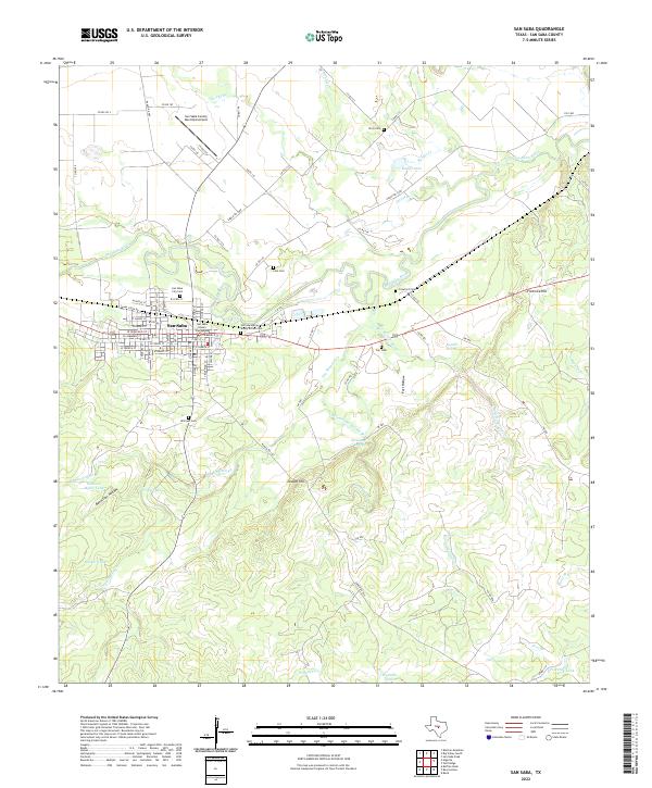
San Saba serves as the central hub of this 1880s survey, situated at the confluence of the San Saba River and Simpson Creek. The landscape is defined by the winding course of the Colorado River, which separates Brown and Lampasas counties. Settlement is concentrated in the northern reaches, where the Gulf Colorado and Santa Fe Railroad passes through Goldthwaite on its way toward the Brazos watershed.
Find a feature on this map
46 named features on this map. Tap any name to fly to it.
Don’t see what you’re looking for? This feature index may not catch every label — zoom into the map to look around manually.
Map Details
Editions of this 1885 San Saba Map
This is the sole edition of this map. No revisions or reprints were ever made.
Historical Maps of San Saba Through Time
10 maps found
1885 San Saba
San Saba County, TX
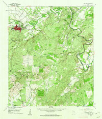
1894 San Saba
San Saba County, TX
1959 San Saba
San Saba County, TX
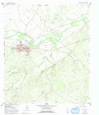
1959 San Saba
San Saba County, TX
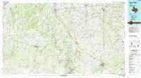
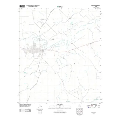
1985 San Saba
San Saba County, TX
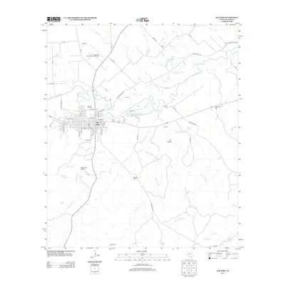
2010 San Saba
San Saba County, TX
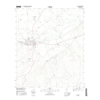
2013 San Saba
San Saba County, TX
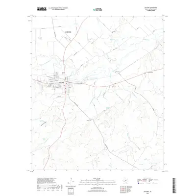
2016 San Saba
San Saba County, TX
2019 San Saba
San Saba County, TX
2022 San Saba
San Saba County, TX