
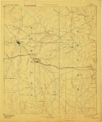
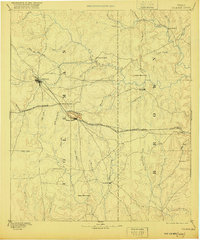
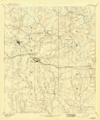
1889 Map of Coleman
USGS Topo · Published 1905About this map
Coleman serves as the focal point of this Central Texas landscape, surveyed in the late 1880s just as the Gulf Colorado and Santa Fe Railroad reshaped the regional economy. The iron rails bisect the terrain, connecting the town to Coleman Junction and the base of the prominent Santa Anna Mountains near the settlement of Santa Anna. This era reveals a transition from frontier military and trade outposts, such as Camp Colorado along Jim Ned Creek, to established agricultural communities like Bangs and Trickham. The map details an extensive drainage system feeding into Pecan Bayou and Hords Creek, illustrating the vital water sources that dictated early settlement patterns. For researchers, the presence of vanished or diminished locales like Byrds Store, Thrifty, and Cedarton provides a rare look at the rural social geography of the late nineteenth century before modern highway systems altered the local landscape.
Find a feature on this map
43 named features on this map. Tap any name to fly to it.
Don’t see what you’re looking for? This feature index may not catch every label — zoom into the map to look around manually.
Map Details
Editions of this 1889 Coleman Map
4 editions found
Other maps of this area

1885 · San Saba
USGS Topo · 1:125,000

1887 · Coleman
USGS Topo · 1:125,000

1889 · Brownwood
USGS Topo · 1:125,000

1890 · Abilene
USGS Topo · 1:125,000

1892 · Eden
USGS Topo · 1:125,000

1892 · Abilene
USGS Topo · 1:125,000

1892 · Ballinger
USGS Topo · 1:125,000

1894 · Brady
USGS Topo · 1:125,000

1894 · Eastland
USGS Topo · 1:125,000

1894 · Brownwood
USGS Topo · 1:125,000