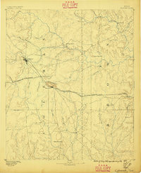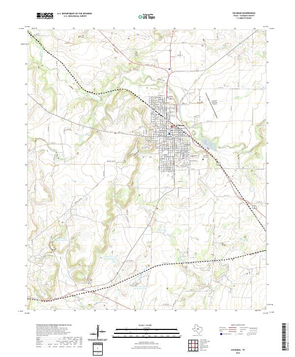
1889 Map of Coleman
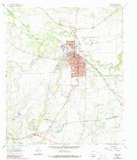
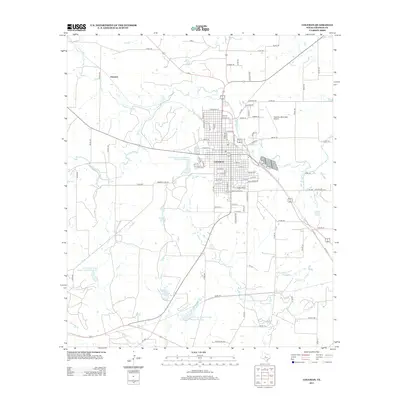
USGS Topo · Published 1939About this map
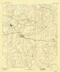
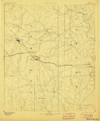
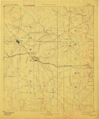
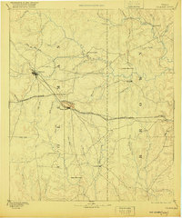
Coleman serves as the primary hub on this late nineteenth-century survey, situated at the junction of several drainage systems and the Gulf Colorado and Santa Fe Railroad. The landscape is defined by the prominent Santa Anna Mountains which rise sharply above the settlement of Santa Anna. This topography reflects a transition between the rolling prairie and more broken hill country, where early ranching and agricultural outposts like Trickham, Byrds Store, and Camp Colorado established a foothold near reliable water sources like Pecan Bayou. The layout of the rail line, passing through Coleman Junction and Bangs, illustrates the late-1880s infrastructure that connected this region of West Central Texas to larger trade markets. Small, localized communities such as Thrifty and Cedarton provide essential data points for genealogists tracing family roots in the early Coleman and Brown county borderlands.
Find a feature on this map
42 named features on this map. Tap any name to fly to it.
Don’t see what you’re looking for? This feature index may not catch every label — zoom into the map to look around manually.
Map Details
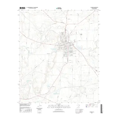
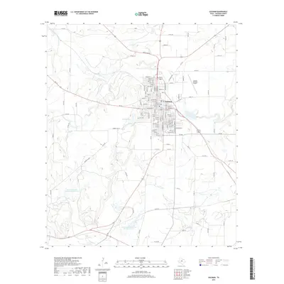
Editions of this 1889 Coleman Map
4 editions found
Historical Maps of Brownwood Through Time
9 maps found