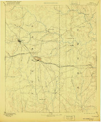
1889 Map of Coleman
USGS Topo · Published 1920About this map
Coleman emerges as a developing railroad hub in this late 19th-century survey of Central Texas. The landscape is dominated by the Gulf Colorado and Santa Fe Railroad, which bisects the region and facilitates the growth of settlements like Santa Anna and Bangs. The presence of Camp Colorado north of Waites Creek serves as a reminder of the area's earlier frontier significance. The terrain is defined by a dense network of watercourses, including Jim Ned Creek and the wide drainage of Pecan Bayou in the northeast.
Find a feature on this map
44 named features on this map. Tap any name to fly to it.
Don’t see what you’re looking for? This feature index may not catch every label — zoom into the map to look around manually.
Map Details
Editions of this 1889 Coleman Map
4 editions found
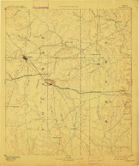
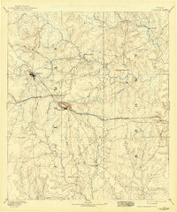
Other maps of this area

1885 · San Saba
USGS Topo · 1:125,000

1887 · Coleman
USGS Topo · 1:125,000

1889 · Brownwood
USGS Topo · 1:125,000

1889 · Coleman
USGS Topo · 1:125,000

1890 · Abilene
USGS Topo · 1:125,000

1892 · Eden
USGS Topo · 1:125,000

1892 · Abilene
USGS Topo · 1:125,000

1892 · Ballinger
USGS Topo · 1:125,000

1894 · Brady
USGS Topo · 1:125,000

1894 · Eastland
USGS Topo · 1:125,000