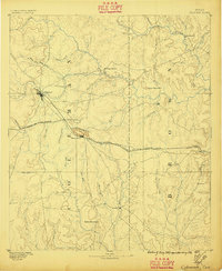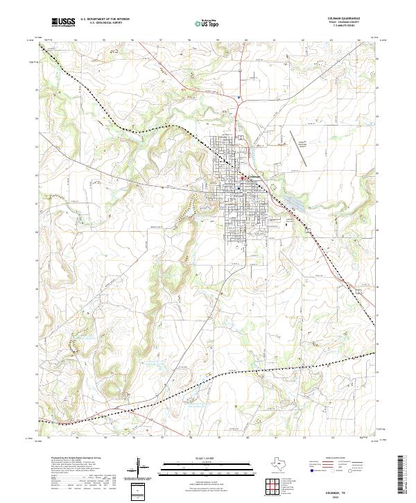
1889 Map of Coleman
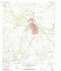
USGS Topo · Published 1911About this map
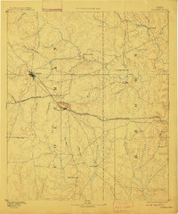
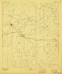
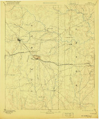
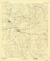
Coleman serves as the prominent seat of activity in this West Texas survey, conducted as the frontier transition was giving way to established ranching and rail commerce. The landscape is defined by a network of drainage systems feeding into Pecan Bayou, including Hords Creek and Jim Ned Creek. The Gulf Colorado and Santa Fe Railroad cuts a definitive line across the territory, facilitating growth in settlements like Santa Anna, positioned just south of the distinctive Santa Anna Mountains. Small rural outposts and early commerce centers such as Byrds Store, Thrifty, and Trickham are linked by primitive roads, reflecting the scattered nature of settlement before the intensive development of the 20th century. Historical military presence is noted at Camp Colorado along Jim Ned Creek, a site of regional importance during the late 19th-century settlement era.
Find a feature on this map
44 named features on this map. Tap any name to fly to it.
Don’t see what you’re looking for? This feature index may not catch every label — zoom into the map to look around manually.
Map Details
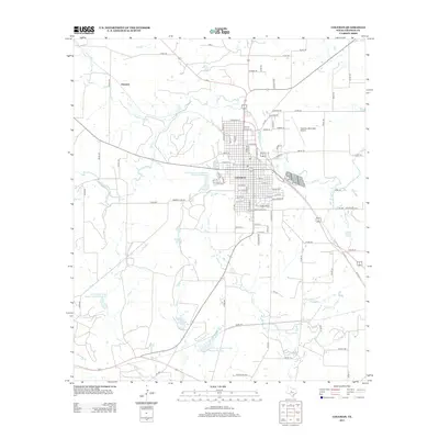
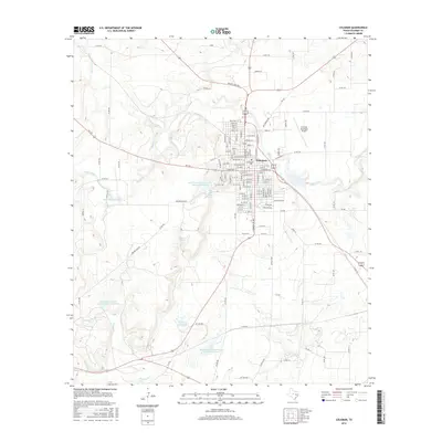
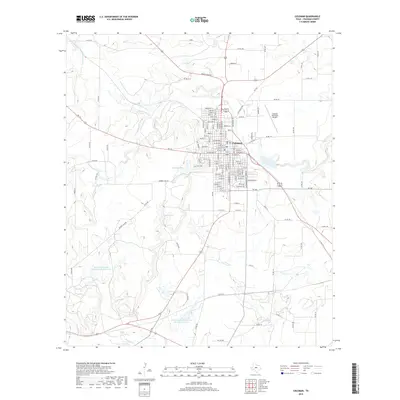
Editions of this 1889 Coleman Map
4 editions found
Historical Maps of Brownwood Through Time
9 maps found