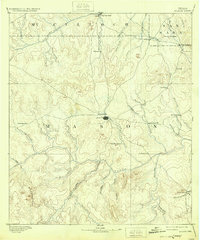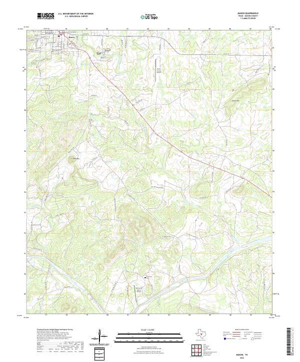
1887 Map of Mason
USGS Topo · Published 1887About this map
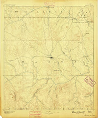
The town of Mason serves as the central hub for this 1880s survey of the Texas Hill Country, situated at the convergence of several regional wagon roads. The landscape is defined by the winding course of the Llano River and its major tributary, the James River, which carve through a terrain dotted with prominent elevations like Round Mountain and Tod Mountain. Small frontier outposts and cattle-country settlements such as Camp San Saba, Katemcy, and Loyal Valley reveal the distribution of early ranching communities before the turn of the century. The presence of place names like Hoersterville and Bodeville reflects the heritage of German-Texan colonization that shaped the local social geography. To the southwest, the Blue Mountains rise above the drainage basins of Mill Creek and Bear Creek, illustrating the transition from river valleys to more elevated uplands.
Find a feature on this map
50 named features on this map. Tap any name to fly to it.
Don’t see what you’re looking for? This feature index may not catch every label — zoom into the map to look around manually.
Map Details
Editions of this 1887 Mason Map
This is the sole edition of this map. No revisions or reprints were ever made.
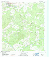
Historical Maps of Mason Through Time
9 maps found