
1894 Map of Mason
USGS Topo · Published 1894About this map
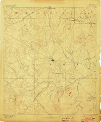
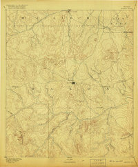
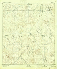
Mason serves as the central hub for this late 19th-century survey of the Texas Hill Country, situated where several primitive roads converge amidst a landscape of prominent peaks and river valleys. The topography is dominated by the Llano River in the south and the San Saba River to the north, with the terrain between them rising to landmarks like Tod Mountain and Hedwigs Hill. Settlement patterns reveal a series of isolated outposts and ranching communities, including Loyal Valley, Fredonia, and Katemcy. The presence of small, named locales such as Indianapolis and Koockville illustrates the early rural development of the region before the arrival of modern highways. Family and geographic names are frequent throughout the drainages, as seen with Stone Bridge Creek and Cold Spring Creek, which provided essential water sources for these frontier settlements.
Find a feature on this map
51 named features on this map. Tap any name to fly to it.
Don’t see what you’re looking for? This feature index may not catch every label — zoom into the map to look around manually.
Map Details
Editions of this 1894 Mason Map
4 editions found
Other maps of this area

1885 · San Saba
USGS Topo · 1:125,000

1887 · Llano
USGS Topo · 1:125,000

1887 · Mason
USGS Topo · 1:125,000

1892 · Eden
USGS Topo · 1:125,000

1894 · Brady
USGS Topo · 1:125,000

1894 · Fredericksburg
USGS Topo · 1:125,000

1894 · Kerrville
USGS Topo · 1:125,000

1894 · San Saba
USGS Topo · 1:125,000

1894 · Llano
USGS Topo · 1:125,000

1896 · Eden
USGS Topo · 1:125,000