
1894 Map of Kerrville
USGS Topo · Published 1894About this map
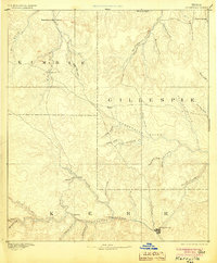
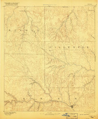
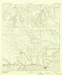
The headwaters of the Guadalupe River and Pedernales River define this 1885 landscape, capturing a moment when the Texas Hill Country was primarily a network of isolated river-valley settlements. Kerrville serves as the primary hub at the confluence of Town Creek and the Guadalupe River, while smaller communities like Ingram, Japonica, and Vix follow the winding course of the North and South Forks. To the north, the divide between the river basins is marked by Steamboat Mountain and the village of Harper. The presence of Johnson Resort along Spring Creek suggests an early emergence of the region's recreational appeal. The map reveals a frontier economy deeply tied to the terrain, where place names like Cherry Spring and Noxville anchor the sparse road network across the borders of Kimble, Gillespie, and Kerr counties.
Find a feature on this map
41 named features on this map. Tap any name to fly to it.
Don’t see what you’re looking for? This feature index may not catch every label — zoom into the map to look around manually.
Map Details
Editions of this 1894 Kerrville Map
4 editions found
Other maps of this area

1887 · Llano
USGS Topo · 1:125,000

1887 · Mason
USGS Topo · 1:125,000

1894 · Mason
USGS Topo · 1:125,000

1894 · Fredericksburg
USGS Topo · 1:125,000

1894 · Llano
USGS Topo · 1:125,000

1904 · Llano
USGS Topo · 1:125,000

1909 · Llano
USGS Topo · 1:125,000

1918 · Llano
USGS Topo · 1:125,000

1954 · Llano
USGS Topo · 1:250,000

1954 · San Antonio
USGS Topo · 1:250,000