
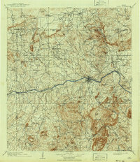
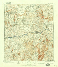
1909 Map of Llano
USGS Topo · Published 1909About this map
The Llano townsite serves as the central hub of this 1909 survey, situated where the Houston and Texas Central railroad meets the winding path of the Llano River. The landscape is a complex network of granite peaks and drainage basins, where remote cattle operations like Atkinson's Ranch and Kuykendall's Ranch define the upland territory. This era represents a peak period of rural community density, evidenced by the distribution of local institutions such as Kennedy School and Wooten Church, alongside small settlements like Cherokee and Valley Spring. The presence of a Quarry near Hog Mtn and the rail terminus at Teiche reflect the local economy's reliance on mineral extraction and livestock transport. Water access was critical for these communities, with established points like Gallinaw Crossing and Rock Waterhole facilitating movement across the creeks and rivers of the Texas Hill Country.
Find a feature on this map
133 named features on this map. Tap any name to fly to it.
Don’t see what you’re looking for? This feature index may not catch every label — zoom into the map to look around manually.
Map Details
Editions of this 1909 Llano Map
3 editions found
Other maps of this area

1885 · San Saba
USGS Topo · 1:125,000

1887 · Llano
USGS Topo · 1:125,000

1887 · Lampasas
USGS Topo · 1:125,000

1887 · Blanco
USGS Topo · 1:125,000

1887 · Mason
USGS Topo · 1:125,000

1887 · Burnet
USGS Topo · 1:125,000

1893 · Burnet
USGS Topo · 1:125,000

1894 · Brady
USGS Topo · 1:125,000

1894 · Mason
USGS Topo · 1:125,000

1894 · Fredericksburg
USGS Topo · 1:125,000