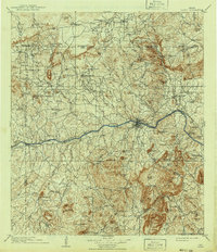
1909 Map of Llano
USGS Topo · Published 1941About this map
Llano serves as the central hub of this Central Texas landscape, where the Texas Central and Northwestern RR terminates alongside the Llano River. The geography is defined by a dense concentration of granite and sandstone formations, including distinctive peaks like Smoothingiron Mtn, Babyhead Mtn, and Cap Mtn. This early twentieth-century survey reveals a network of rural ranching and farming outposts, such as Atkinson's Ranch and Kuykendall's Ranch, connected by primitive roads that crisscross numerous waterways like Cherokee Creek and Sandy Creek.
Find a feature on this map
109 named features on this map. Tap any name to fly to it.
Don’t see what you’re looking for? This feature index may not catch every label — zoom into the map to look around manually.
Map Details
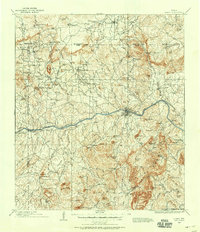
Editions of this 1909 Llano Map
3 editions found

Other maps of this area

1885 · San Saba
USGS Topo · 1:125,000

1887 · Llano
USGS Topo · 1:125,000

1887 · Lampasas
USGS Topo · 1:125,000

1887 · Blanco
USGS Topo · 1:125,000

1887 · Mason
USGS Topo · 1:125,000

1887 · Burnet
USGS Topo · 1:125,000

1893 · Burnet
USGS Topo · 1:125,000

1894 · Brady
USGS Topo · 1:125,000

1894 · Mason
USGS Topo · 1:125,000

1894 · Fredericksburg
USGS Topo · 1:125,000