Old Maps of Llano, Texas
Explore 23 old maps of Llano, spanning from 1887 to today. These high-resolution historic maps reveal how streets, neighborhoods, landmarks, and natural features evolved over time — perfect for genealogy, metal detecting, research, and local history exploration.
What you can do with these maps:
- See how Llano changed over time: Compare historical maps to modern-day views to trace roads, homesites, rail lines & more.
- View detailed metadata: Each map includes creators, publishers, year, scale, and archive source.
- Overlay maps with satellite & LiDAR: Visualize the past alongside modern tools to explore terrain & human change.
- Trusted historical sources: Maps sourced from the USGS, Library of Congress, and other archives.
- Access maps your way: View online, download high-res files, or order prints for personal or research use.
Start exploring old maps of Llano to uncover forgotten places, hidden landmarks, and the deep history beneath your feet.
Llano, TX maps
(23)- 1887 Map of Llano
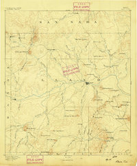
 1887 Llano1887 Print · USGSThe Texas Hill Country emerges as a frontier of granite peaks and river valleys in the mid-1880s. Researchers can locate early settlements like Castell and Baby Head, or trace the rugged topography of Enchanted Rock and Pack Saddle Mountain.
 - 1894 Map of Llano
 1894 Llano1894 Print · USGSThe Llano Uplift of Central Texas is captured here in the late nineteenth century as a landscape of remote ranching outposts and granite peaks. Genealogists and historians can trace the early layouts of Llano, Castell, and the community of Baby Head.
 - 1904 Map of Llano
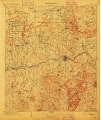
 1904 Llano1904 Print · USGSThe Texas Hill Country around the turn of the century centered on the rail hub of Llano and the winding Llano River. Genealogists can trace early homesteads like Kuykendall's Ranch and locate remote landmarks such as Hesterville Church and the Iron Mine.
 - 1909 Map of Llano
 1909 Llano1909 Print · USGSCentral Texas at the first decade of the new century shows a landscape of cattle ranches and growing rail towns. Genealogists can locate family landmarks such as Atkinson's Ranch, Oxford, and rural social centers like Kennedy School or Wooten Church.3 unique versions available
 - 1918 Map of Llano
 1918 Llano1918 Print · USGSThe Llano River country during the Great War era reveals a landscape of isolated cattle ranches and early mining efforts. Genealogists can trace family landmarks like Atkinson's Ranch and Taylorville or locate long-gone community centers like Kennedy School and Wooten Church.
 - 1954 Map of Llano, 1964 Print
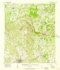
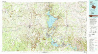
 1954 Llano1964 Print · USGSThe Texas Hill Country and Highland Lakes appear in the mid-fifties, just as new reservoirs began reshaping the landscape. Trace ranching history and river routes from Mason to Llano, or follow the Gulf Colorado and Santa Fe RR past Buchanan Lake.2 unique versions available
 - 1955 Map of Llano
 1955 Llano1955 Print · USGSCentral Texas and the Hill Country are seen here during the mid-1950s growth of the Highland Lakes. Trace old settlements and geologic landmarks from Enchanted Rock and Longhorn Cavern to the small community of Luckenbach.
 - 1955 Map of Llano North, 1956 Print
 1955 Llano North1956 Print · USGSLlano was a thriving rail and river hub in the mid-1950s, serving as the gateway to the northern cattle and granite country. You can trace early family sites like Mayes Chapel Cem or locate vintage infrastructure like the Texas and New Orleans (SP) railroad and the County Airport.2 unique versions available
 - 1956 Map of Cherokee, 1957 Print
 1956 Cherokee1957 Print · USGSIn the mid-fifties, this Llano and San Saba County borderland reveals a shifting rural landscape where old foundations meet new infrastructure. Genealogists can trace the Babyhead community through its Babyhead Cem or locate the remote Board Branch Cem and Kuykendall Cem in the hills.
 - 1956 Map of Llano, 1976 Print
 1956 Llano1976 Print · USGSThe Texas Hill Country comes alive in this mid-seventies survey of the Llano Uplift and Colorado River lakes. Genealogists and historians can trace family roots through settlements like Luckenbach and Castell or locate the famed L B J Ranch and Enchanted Rock.
 - 1960 Map of Llano South, 1962 Print
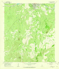 1960 Llano South1962 Print · USGSThe Texas Hill Country south of the Llano River appears in detail during the early sixties as the regional economy balanced ranching and granite extraction. Researchers can locate family landmarks such as the Clymer Cem, Oatman Creek Ch, and various Quarry sites.3 unique versions available
 - 1985 Map of Llano
 1985 Llano1985 Print · USGSThe Texas Hill Country and Highland Lakes come into focus in the mid-1980s, showcasing the intersection of traditional ranching and modern lakeside growth. Researchers can locate vanished schoolhouses and family burial sites like Valley Spring Sch, Babyhead Cem, and the rural community of Oatmeal.
 - 1992 Map of Llano
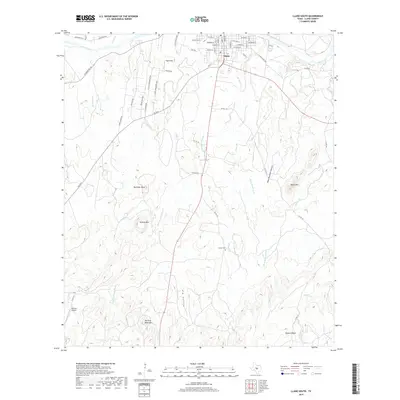
 1992 Llano1992 Print · USGSThe Texas Hill Country comes into focus in the early nineties as the Highland Lakes and the granite uplifts of Llano and Burnet define the landscape. Researchers can trace the Southern Pacific line and locate local landmarks from Enchanted Rock to the Llano County Courthouse.2 unique versions available
 - 2010 Map of Llano South, 2010 Print
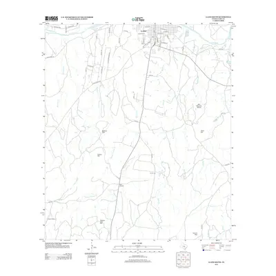
 2010 Llano South2010 Print · USGSCovers Llano, including Llano County, United States, and other nearby areas
 - 2010 Map of Llano North, 2010 Print
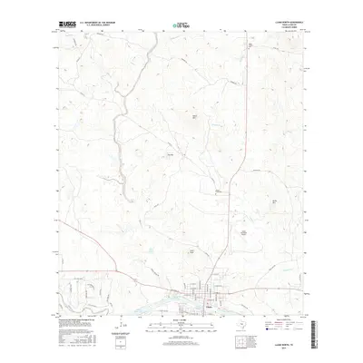
 2010 Llano North2010 Print · USGSCovers Llano, including Llano County, United States, and other nearby areas
 - 2012 Map of Llano North, 2012 Print
 2012 Llano North2012 Print · USGSCovers Llano, including Llano County, United States, and other nearby areas
 - 2012 Map of Llano South, 2012 Print
 2012 Llano South2012 Print · USGSCovers Llano, including Llano County, United States, and other nearby areas
 - 2016 Map of Llano North, 2016 Print
 2016 Llano North2016 Print · USGSCovers Llano, including Llano County, United States, and other nearby areas
 - 2016 Map of Llano South, 2016 Print
 2016 Llano South2016 Print · USGSCovers Llano, including Llano County, United States, and other nearby areas
 - 2019 Map of Llano South, 2019 Print
 2019 Llano South2019 Print · USGSCovers Llano, including Llano County, United States, and other nearby areas
 - 2019 Map of Llano North, 2019 Print
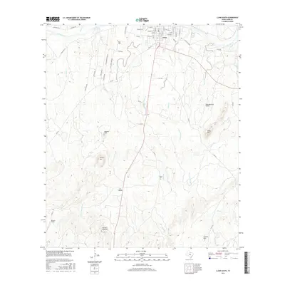
 2019 Llano North2019 Print · USGSCovers Llano, including Llano County, United States, and other nearby areas
 - 2022 Map of Llano North, 2022 Print
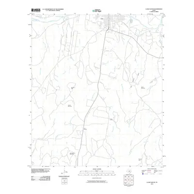
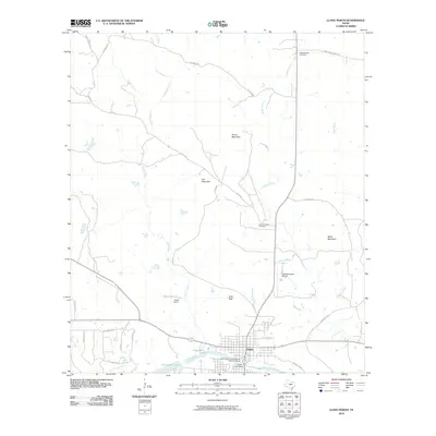
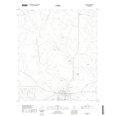
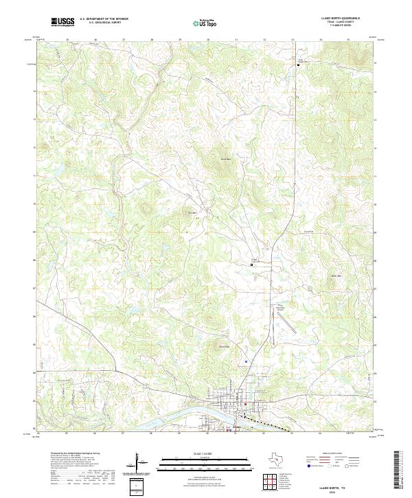 2022 Llano North2022 Print · USGSLlano and its surrounding hill country are captured here at the start of the 2020s, showing the town's expansion toward the Llano River. Local historians can trace old family sites and rural landmarks like Mayes Chapel Cem, Town Peak, and the waters of Babyhead Creek.
 - 2022 Map of Llano South, 2022 Print
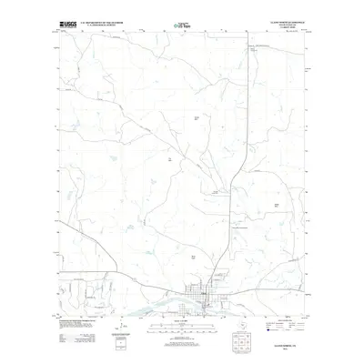
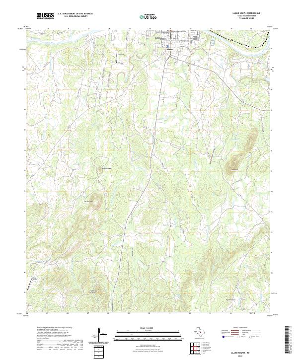 2022 Llano South2022 Print · USGSThe Llano River valley in the early 2020s shows a landscape where civic history and granite hills meet. Researchers can trace local heritage from the Llano County Courthouse to rural landmarks like Clymer Cem and Pyramid Rock.
End of results
Showing maps 1-23 of 23
Top cities near Llano
Frequently asked questions
- What are the different types of historical maps available for Llano?
- What is the oldest map of Llano?
- Where can I purchase historical maps of Llano for my home or office?
- Where can I download high-res historical maps of Llano?
- Are there historical topographic maps available for Llano?
- Is there historical aerial imagery available for Llano?
- Where are historical maps of Llano sourced from?