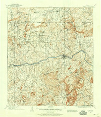
1909 Map of Llano
USGS Topo · Published 1958About this map
The Llano River carves through the heart of the Texas Hill Country in this early 20th-century survey, centering on the growing hub of Llano. The landscape is a network of cattle ranches and remote outposts, including Atkinson's Ranch, Stribling's Ranch, and Knykendall's Ranch. Transportation and industry define the eastern corridor, where the Texas Central RR terminates near the granite and mineral deposits of Graphite and a local Quarry.
Find a feature on this map
131 named features on this map. Tap any name to fly to it.
Don’t see what you’re looking for? This feature index may not catch every label — zoom into the map to look around manually.
Map Details
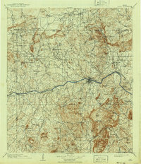
Editions of this 1909 Llano Map
3 editions found

Other maps of this area

1885 · San Saba
USGS Topo · 1:125,000

1887 · Llano
USGS Topo · 1:125,000

1887 · Lampasas
USGS Topo · 1:125,000

1887 · Blanco
USGS Topo · 1:125,000

1887 · Mason
USGS Topo · 1:125,000

1887 · Burnet
USGS Topo · 1:125,000

1893 · Burnet
USGS Topo · 1:125,000

1894 · Brady
USGS Topo · 1:125,000

1894 · Mason
USGS Topo · 1:125,000

1894 · Fredericksburg
USGS Topo · 1:125,000