
1894 Map of Fredericksburg
USGS Topo · Published 1894About this map
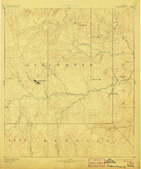
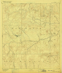
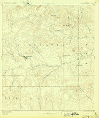
Fredericksburg and its surrounding Hill Country landscape are captured here as they appeared in the late nineteenth century. At this time, the settlement was established as a centralized hub for the ranching and agricultural interests of Gillespie County. The town site is situated between the forks of Barons Creek and Live Oak Creek, while the Pedernales River carves a prominent path across the center of the sheet.
Find a feature on this map
33 named features on this map. Tap any name to fly to it.
Don’t see what you’re looking for? This feature index may not catch every label — zoom into the map to look around manually.
Map Details
Editions of this 1894 Fredericksburg Map
4 editions found
Other maps of this area

1887 · Llano
USGS Topo · 1:125,000

1887 · Blanco
USGS Topo · 1:125,000

1887 · Mason
USGS Topo · 1:125,000

1887 · Burnet
USGS Topo · 1:125,000

1893 · Burnet
USGS Topo · 1:125,000

1894 · Mason
USGS Topo · 1:125,000

1894 · Kerrville
USGS Topo · 1:125,000

1894 · Blanco
USGS Topo · 1:125,000

1894 · Llano
USGS Topo · 1:125,000

1903 · Burnet
USGS Topo · 1:125,000