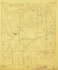
1894 Map of Fredericksburg
USGS Topo · Published 1906About this map
The town of Fredericksburg stands as the central hub of this late-nineteenth-century survey, surrounded by the intricate drainage systems of the Texas Hill Country. Established along Barons Creek, the settlement is flanked by numerous family-named peaks and ridges, including Mount Nebo and Bell Mountain to the north. The landscape is defined by the winding course of the Pedernales River, which draws in a network of tributaries such as Cave Creek and Live Oak Creek.
Find a feature on this map
34 named features on this map. Tap any name to fly to it.
Don’t see what you’re looking for? This feature index may not catch every label — zoom into the map to look around manually.
Map Details
Editions of this 1894 Fredericksburg Map
4 editions found
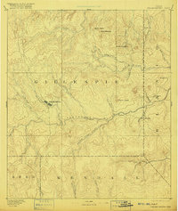
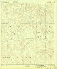
Other maps of this area

1887 · Llano
USGS Topo · 1:125,000

1887 · Blanco
USGS Topo · 1:125,000

1887 · Mason
USGS Topo · 1:125,000

1887 · Burnet
USGS Topo · 1:125,000

1893 · Burnet
USGS Topo · 1:125,000

1894 · Mason
USGS Topo · 1:125,000

1894 · Fredericksburg
USGS Topo · 1:125,000

1894 · Kerrville
USGS Topo · 1:125,000

1894 · Blanco
USGS Topo · 1:125,000

1894 · Llano
USGS Topo · 1:125,000