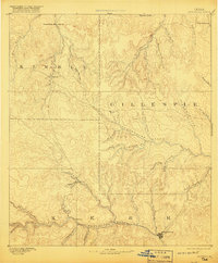
1894 Map of Kerrville
USGS Topo · Published 1920About this map
The upper reaches of the Guadalupe River and Pedernales River dominate this late 19th-century landscape, capturing the Texas Hill Country as the frontier transition gave way to established ranching and settlement. Surveyed in the 1880s, the map centers on the burgeoning community of Kerrville, showing its early street grid and its position at the confluence of the river and Town Creek. To the north, the small outpost of Harper and the crossing at Noxville anchor the high divides between Kimble and Gillespie counties.
Find a feature on this map
40 named features on this map. Tap any name to fly to it.
Don’t see what you’re looking for? This feature index may not catch every label — zoom into the map to look around manually.
Map Details
Editions of this 1894 Kerrville Map
4 editions found
Other maps of this area

1887 · Llano
USGS Topo · 1:125,000

1887 · Mason
USGS Topo · 1:125,000

1894 · Mason
USGS Topo · 1:125,000

1894 · Fredericksburg
USGS Topo · 1:125,000

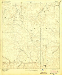
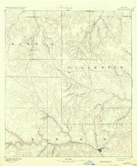
1894 · Kerrville
USGS Topo · 1:125,000

1894 · Llano
USGS Topo · 1:125,000

1904 · Llano
USGS Topo · 1:125,000

1909 · Llano
USGS Topo · 1:125,000

1918 · Llano
USGS Topo · 1:125,000

1954 · Llano
USGS Topo · 1:250,000