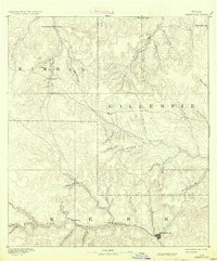
1894 Map of Kerrville
USGS Topo · Published 1937About this map
Kerrville serves as the primary hub in this late nineteenth-century survey of the Texas Hill Country, situated where the Guadalupe River and Town Creek meet. The landscape is defined by the headwaters of major river systems, including the Pedernales River, which winds through central Gillespie County near Harper. At this time, the region was characterized by isolated homesteads and small riverside communities like Ingram and Japonica.
Find a feature on this map
39 named features on this map. Tap any name to fly to it.
Don’t see what you’re looking for? This feature index may not catch every label — zoom into the map to look around manually.
Map Details
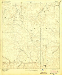
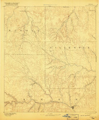
Editions of this 1894 Kerrville Map
4 editions found
Other maps of this area

1887 · Llano
USGS Topo · 1:125,000

1887 · Mason
USGS Topo · 1:125,000

1894 · Mason
USGS Topo · 1:125,000

1894 · Fredericksburg
USGS Topo · 1:125,000

1894 · Kerrville
USGS Topo · 1:125,000

1894 · Llano
USGS Topo · 1:125,000

1904 · Llano
USGS Topo · 1:125,000

1909 · Llano
USGS Topo · 1:125,000

1918 · Llano
USGS Topo · 1:125,000

1954 · Llano
USGS Topo · 1:250,000