Old Maps of Kempner, Texas
Explore 25 old maps of Kempner, spanning from 1887 to today. These high-resolution historic maps reveal how streets, neighborhoods, landmarks, and natural features evolved over time — perfect for genealogy, metal detecting, research, and local history exploration.
What you can do with these maps:
- See how Kempner changed over time: Compare historical maps to modern-day views to trace roads, homesites, rail lines & more.
- View detailed metadata: Each map includes creators, publishers, year, scale, and archive source.
- Overlay maps with satellite & LiDAR: Visualize the past alongside modern tools to explore terrain & human change.
- Trusted historical sources: Maps sourced from the USGS, Library of Congress, and other archives.
- Access maps your way: View online, download high-res files, or order prints for personal or research use.
Start exploring old maps of Kempner to uncover forgotten places, hidden landmarks, and the deep history beneath your feet.
Kempner, TX maps
(25)- 1887 Map of Lampasas
 1887 Lampasas1887 Print · USGSThe Lampasas region in the late 1880s shows the arrival of the Gulf Colorado and Santa Fe Railroad alongside early frontier settlements. Local historians can trace old post offices and milling sites like Townsen Mills, Wayback, and Senterfitt among the numerous gaps and peaks of the Hill Country.
 - 1894 Map of Lampasas
 1894 Lampasas1894 Print · USGSLampasas and the surrounding hill country are shown in the years following the arrival of the rail. Genealogists can trace family-named landmarks like Kinchelo Peak and old post offices at Senterfitt, Nix, and Wayback.4 unique versions available
 - 1894 Map of Gatesville
 1894 Gatesville1894 Print · USGSCentral Texas in the late nineteenth century was a landscape of expanding rail lines and established river settlements. Genealogists can trace family names across Pidcock Ranch, Fort Gates, and Coperas Cove, while following the path of the St. Louis Arkansas and Texas Railroad.4 unique versions available
 - 1947 Map of Fort Hood
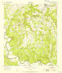
 1947 Fort Hood1947 Print · USGSCoryell and Lampasas Counties are shown here during the post-war expansion of military and rail infrastructure. Researchers can trace the layout of Fort Hood alongside rural landmarks like Willow Springs School, Starkle Cemetery, and the Variety Club Boys Ranch.
 - 1947 Map of Copperas Cove, 1953 Print
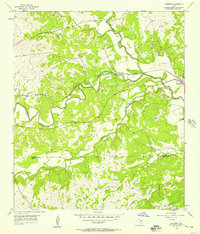
 1947 Copperas Cove1953 Print · USGSCopperas Cove and Kempner are shown in the late 1940s as rural centers alongside the growing military presence at Fort Hood. Genealogists can locate family sites at Starkie Cem and Smith Cem or trace the early course of the Lampasas River.
 - 1954 Map of Brownwood, 1955 Print
 1954 Brownwood1955 Print · USGSCentral Texas in the early fifties shows a landscape of rail-linked cattle towns and winding river valleys before modern highway expansion. Genealogists and historians can trace family-named peaks and vanished rail stops like Trickham, Santa Anna, and the Brady Mountains.3 unique versions available
 - 1954 Map of Lampasas, 1956 Print
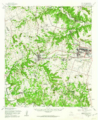
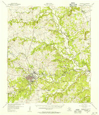 1954 Lampasas1956 Print · USGSLampasas and the surrounding ranchlands are shown here in the mid-fifties, centered on the confluence of several creeks and the rail corridor. Researchers can trace the layout of Kempner and Rumley, find rural landmarks like Clay Rock Ch, or locate family plots at Garner Cem.
 - 1954 Map of Kempner, 1957 Print
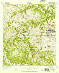
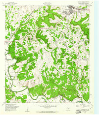
 1954 Kempner1957 Print · USGSKempner and the Lampasas River valley are captured in the mid-fifties, showing a landscape shaped by the railroad and river crossings. Trace family history at Pickett Cem or explore rail landmarks like Deadmans Cut and the siding at Shortall.2 unique versions available
 - 1954 Map of Waco, 1964 Print
 1954 Waco1964 Print · USGSCentral Texas during the mid-fifties shows a landscape defined by the expansion of Fort Hood Military Reservation and the Brazos river system. Trace the rail lines and early airfields like James Connally Air Force Base and settlements like Temple or McGregor.2 unique versions available
 - 1955 Map of Waco
 1955 Waco1955 Print · USGSCentral Texas at the peak of the Cold War reveals a landscape defined by military expansion and major water projects. Researchers can trace the footprints of Fort Hood, the waters of Lake Waco, and regional hubs like Temple or Mexia.
 - 1958 Map of Copperas Cove, 1961 Print
 1958 Copperas Cove1961 Print · USGSMid-century Copperas Cove and the Lampasas River valley are captured here as the region grew alongside the railroad. Genealogists can trace family landmarks like Kempner Cem, Smith Cem, and the passage through Ogletree Gap.3 unique versions available
 - 1958 Map of Fort Hood, 1962 Print
 1958 Fort Hood1962 Print · USGSThe Central Texas highlands meet military expansion in the late fifties as Fort Hood grows alongside Copperas Cove. Genealogists and historians can trace rural roots at Twin Mountains Cem or locate the Variety Club Boys Ranch.
 - 1985 Map of San Saba
 1985 San Saba1985 Print · USGSCentral Texas in the mid-eighties was a landscape of river-valley ranching and quiet railroad towns. Researchers can trace family history through sites like San Saba Cem, follow the Atchison Topeka and Santa Fe line, or explore landmarks near Pecan Bayou.2 unique versions available
 - 1985 Map of Temple
 1985 Temple1985 Print · USGSCentral Texas in the mid-eighties shows a landscape of massive defense installations and deep-rooted farming communities. Genealogists and historians can trace the development of Temple and Gatesville, locate the Gatesville State School for Boys, or explore rural outposts like Zabcikville and Westphalia.2 unique versions available
 - 1995 Map of Copperas Cove
 1995 Copperas Cove1995 Print · USGSCopperas Cove and Kempner are captured in the mid-1990s as suburban development meets the sprawling ranch lands of central Texas. Genealogists can trace long-standing family ties through sites like Kempner Cem, Ethridge Cem, and Oak Hills Ch.
 - 2010 Map of Kempner, 2010 Print
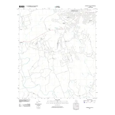
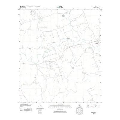 2010 Kempner2010 Print · USGSCovers Kempner, including Brooks Crossing, Shortall, and other nearby areas
 - 2010 Map of Copperas Cove, 2010 Print
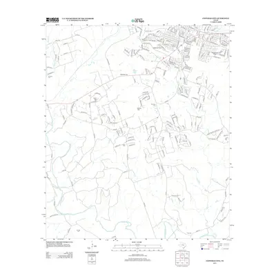
 2010 Copperas Cove2010 Print · USGSCovers Kempner, including Copperas Cove, Bell County, and other nearby areas
 - 2012 Map of Copperas Cove, 2012 Print
 2012 Copperas Cove2012 Print · USGSCovers Kempner, including Copperas Cove, Bell County, and other nearby areas
 - 2013 Map of Kempner, 2013 Print
 2013 Kempner2013 Print · USGSCovers Kempner, including Brooks Crossing, Shortall, and other nearby areas
 - 2016 Map of Copperas Cove, 2016 Print
 2016 Copperas Cove2016 Print · USGSCovers Kempner, including Copperas Cove, Bell County, and other nearby areas
 - 2016 Map of Kempner, 2016 Print
 2016 Kempner2016 Print · USGSCovers Kempner, including Brooks Crossing, Shortall, and other nearby areas
 - 2019 Map of Kempner, 2019 Print
 2019 Kempner2019 Print · USGSCovers Kempner, including Brooks Crossing, Shortall, and other nearby areas
 - 2019 Map of Copperas Cove, 2019 Print
 2019 Copperas Cove2019 Print · USGSCovers Kempner, including Copperas Cove, Bell County, and other nearby areas
 - 2022 Map of Copperas Cove, 2022 Print
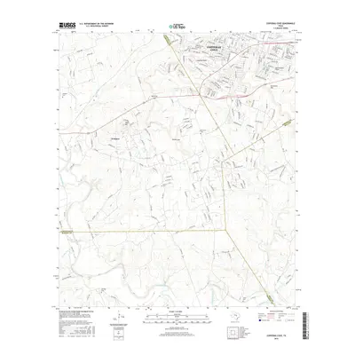
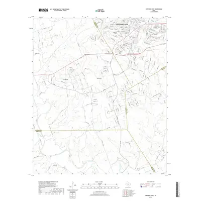
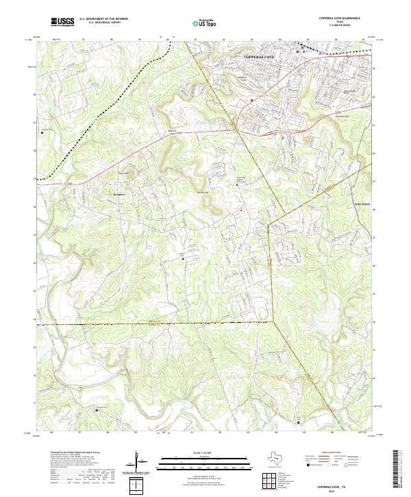 2022 Copperas Cove2022 Print · USGSCopperas Cove and Kempner are shown in the early twenty-first century at the intersection of four Texas counties. Researchers can trace rural lineages through family-named landmarks like Smith Cem, Tobey Cem, and the historic Clear Creek Baptist Church.
 - 2022 Map of Kempner, 2022 Print
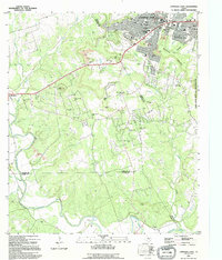
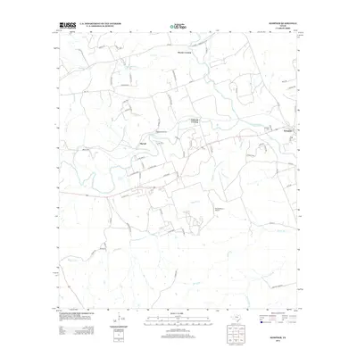
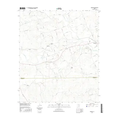
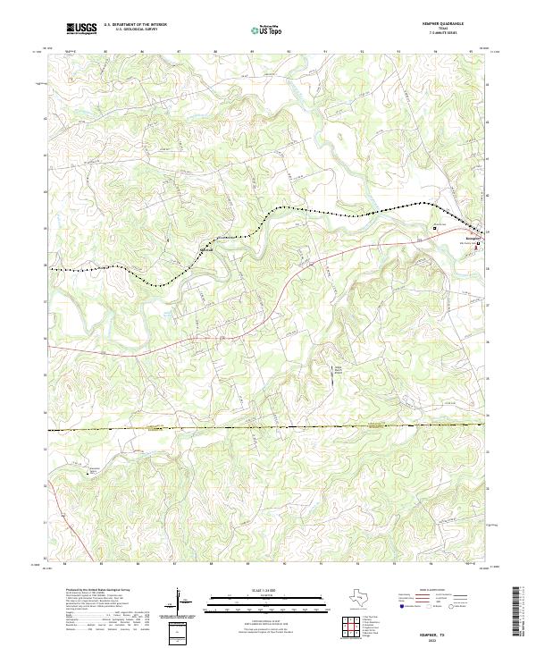 2022 Kempner2022 Print · USGSKempner and the surrounding Central Texas ranch lands are shown here at the start of the 2020s. Researchers can locate family burial sites like Pickett Cem and Ellis Family Cem or trace the course of the Lampasas River.
End of results
Showing maps 1-25 of 25
Top cities near Kempner
- Killeen historical maps
- Copperas Cove historical maps
- Lampasas historical maps
- Florence historical maps
- Watson historical maps
Frequently asked questions
- What are the different types of historical maps available for Kempner?
- What is the oldest map of Kempner?
- Where can I purchase historical maps of Kempner for my home or office?
- Where can I download high-res historical maps of Kempner?
- Are there historical topographic maps available for Kempner?
- Is there historical aerial imagery available for Kempner?
- Where are historical maps of Kempner sourced from?