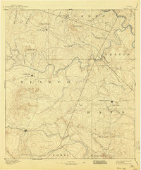
1894 Map of Blanco
USGS Topo · Published 1940About this map
Johnson City and the surrounding Hill Country landscape are captured here based on surveys conducted in the mid-1880s. The region is defined by its complex drainage network, where the Colorado River sweeps across the northeastern corner, and the Pedernales River carves a winding path through the center. Small settlements like Cypress Mill and Henly appear as vital local hubs along a network of early roads, while the town of Blanco anchors the southern portion of the sheet near the Blanco River. Significant landmarks such as Jacob's Well and the curiously named Lone Man Mt and Lone Woman Mt illustrate the distinctive topography and local nomenclature of the era. The mapping by C. H. Fitch highlights the transition between the rolling uplands and the river valleys that shaped the early development of Blanco, Hays, and Travis counties.
Find a feature on this map
42 named features on this map. Tap any name to fly to it.
Don’t see what you’re looking for? This feature index may not catch every label — zoom into the map to look around manually.
Map Details
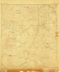
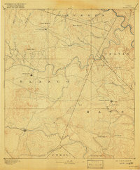
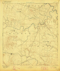
Editions of this 1894 Blanco Map
5 editions found
Other maps of this area

1887 · Llano
USGS Topo · 1:125,000

1887 · Blanco
USGS Topo · 1:125,000

1887 · Burnet
USGS Topo · 1:125,000

1893 · Georgetown
USGS Topo · 1:125,000

1893 · Burnet
USGS Topo · 1:125,000

1894 · Fredericksburg
USGS Topo · 1:125,000

1894 · Blanco
USGS Topo · 1:125,000

1894 · Llano
USGS Topo · 1:125,000

1896 · Austin
USGS Topo · 1:125,000

1897 · Austin
USGS Topo · 1:125,000