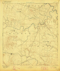
1894 Map of Blanco
USGS Topo · Published 1921About this map
Blanco and Johnson City anchor this late-nineteenth-century survey of the Texas Hill Country, a landscape defined by deeply incised river valleys and distinctive limestone peaks. The terrain is dominated by the winding courses of the Pedernales River and the Colorado River, along with numerous spring-fed tributaries like Onion Creek and Barton Creek. Evidence of early settlement is scattered across the uplands, from the community at Dripping Springs to the rural post office at Henly. Landowners and genealogists will find interest in the specifically named topography, including the Lone Woman Mt. and Lone Man Mt. peaks, as well as landmark water features like the natural spring of Jacob's Well and the curiously named Dead Man's Hole near the border of Travis county. The map reflects a period before the major damming projects changed the region's river profiles, showing the original drainage patterns of the Little Blanco River and Cypress Creek.
Find a feature on this map
45 named features on this map. Tap any name to fly to it.
Don’t see what you’re looking for? This feature index may not catch every label — zoom into the map to look around manually.
Map Details
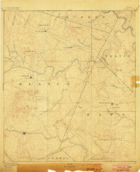
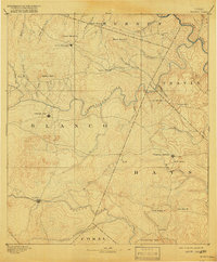
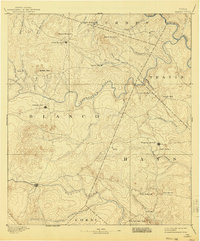
Editions of this 1894 Blanco Map
5 editions found
Other maps of this area

1887 · Llano
USGS Topo · 1:125,000

1887 · Blanco
USGS Topo · 1:125,000

1887 · Burnet
USGS Topo · 1:125,000

1893 · Georgetown
USGS Topo · 1:125,000

1893 · Burnet
USGS Topo · 1:125,000

1894 · Fredericksburg
USGS Topo · 1:125,000

1894 · Blanco
USGS Topo · 1:125,000

1894 · Llano
USGS Topo · 1:125,000

1896 · Austin
USGS Topo · 1:125,000

1897 · Austin
USGS Topo · 1:125,000