Loading...
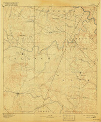
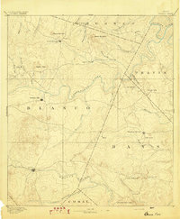
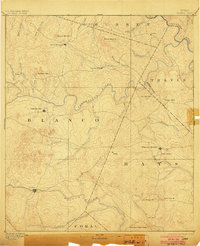
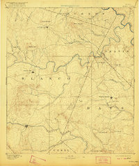
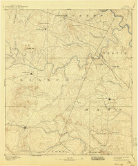
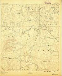
Loading map...1894 Map of Blanco
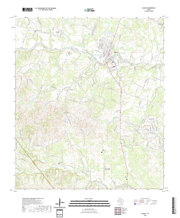
USGS Topo · Published 1918About this map
The Pedernales River and Blanco River dominate this Central Texas landscape, as surveyed in the mid-1880s. The region is defined by its dramatic hydrography, featuring the notable artesian spring at Jacobs Well and the curious natural formation of Dead Mans Hole in the Travis county section. Small agricultural and trading hubs like Johnson City, Blanco, and Dripping Springs appear as early concentrations of settlement connected by primitive wagon roads.
Find a feature on this map
44 named features on this map. Tap any name to fly to it.
Don’t see what you’re looking for? This feature index may not catch every label — zoom into the map to look around manually.
Map Details
Date Portrayed1894
Date Published1918
PublisherU.S. Geological Survey
Map TypeTopographic
Scale1:125,000
Physical Dimensions16.4 x 19.9 inches
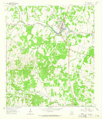
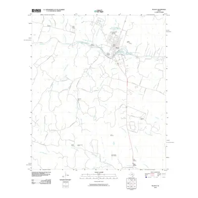
Editions of this 1894 Blanco Map
5 editions found
Historical Maps of Lakeway Through Time
8 maps found
Featured Locations
Source Details
SourceU.S. Geological Survey
CopyrightPublic Domain