Old Maps of San Marcos, Texas
Explore 35 old maps of San Marcos, spanning from 1911 to today. These high-resolution historic maps reveal how streets, neighborhoods, landmarks, and natural features evolved over time — perfect for genealogy, metal detecting, research, and local history exploration.
What you can do with these maps:
- See how San Marcos changed over time: Compare historical maps to modern-day views to trace roads, homesites, rail lines & more.
- View detailed metadata: Each map includes creators, publishers, year, scale, and archive source.
- Overlay maps with satellite & LiDAR: Visualize the past alongside modern tools to explore terrain & human change.
- Trusted historical sources: Maps sourced from the USGS, Library of Congress, and other archives.
- Access maps your way: View online, download high-res files, or order prints for personal or research use.
Start exploring old maps of San Marcos to uncover forgotten places, hidden landmarks, and the deep history beneath your feet.
San Marcos, TX maps
(35)- 1911 Map of San Marcos
 1911 San Marcos1911 Print · USGSCentral Texas at the peak of the railroad era shows a landscape of small farming communities and country schools. Genealogists can trace family footprints across Comanche Flat or locate long-gone sites like Highpoint School and Bethany Church.2 unique versions available
 - 1919 Map of San Marcos
 1919 San Marcos1919 Print · USGSTexas at the close of the Great War was a landscape of river-fed farms and emerging rail corridors between San Marcos and Lockhart. Genealogists can trace family footprints through numerous rural landmarks like Clark Chapel, High Prairie School, and Larremore.
 - 1929 Map of Hunter
 1929 Hunter1929 Print · USGSComal County was a landscape of deep limestone valleys and winding river bends in the late twenties. Genealogists and local historians can trace the early layout of Sattler or locate family landmarks near Waco Spring and Mountain Creek.2 unique versions available
 - 1953 Map of Seguin, 1965 Print
 1953 Seguin1965 Print · USGSSouth Texas in the early fifties shows a thriving river-and-rail economy across the Guadalupe and Colorado basins. Genealogists and historians can trace rail routes like the Southern Pacific through Seguin, locate oil wells, or find the Gary AAF near San Marcos.4 unique versions available
 - 1954 Map of San Antonio, 1964 Print
 1954 San Antonio1964 Print · USGSSan Antonio and the Texas Hill Country are captured here in the mid-fifties, showing a landscape defined by massive military air bases and the rising Canyon Reservoir. Trace family ties through historic rail towns like D'Hanis and Castroville or explore the Cold War footprint of Lackland AFB and Randolph AFB.3 unique versions available
 - 1957 Map of San Antonio
 1957 San Antonio1957 Print · USGSSan Antonio and the Texas Hill Country are shown here during the mid-fifties, capturing the region's expanding post-war military and transportation footprint. Genealogists and local historians can trace the early residential boundaries of Alamo Heights or locate rural landmarks like St Hedwig and Medina Lake.
 - 1958 Map of Seguin
 1958 Seguin1958 Print · USGSSouth Texas in the late fifties was a network of river-valley settlements and active oilfields tied together by major rail lines. Genealogists and historians can trace family-named sites across Rabb Prairie, locate the Behring Store, or follow the Southern Pacific through Schulenburg.
 - 1964 Map of Hunter, 1965 Print
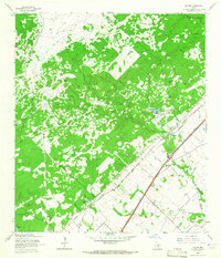 1964 Hunter1965 Print · USGSMid-century Comal County is characterized by a dense network of family cemeteries and dual-rail transit through the settlement of Hunter. Researchers can locate historic rural burial grounds like Rosenthal Cem and trace the paths of the Missouri Pacific and Missouri Kansas Texas lines.5 unique versions available
 - 1964 Map of San Marcos South, 1966 Print
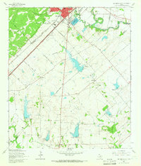 1964 San Marcos South1966 Print · USGSThe rural hills south of San Marcos were defined by a junction of major railroads and creek-fed farms in the mid-1960s. Researchers can trace family history through sites like Pitts Cemetery or locate old school sites like Bowie School near Centerpoint.3 unique versions available
 - 1964 Map of Uhland, 1966 Print
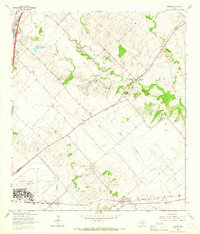 1964 Uhland1966 Print · USGSThe Blackland Prairie of Hays and Caldwell Counties comes into focus during the mid-1960s, a time when small agricultural hubs still dominated the landscape. You can trace family roots through localized sites like Doyle Cem, San Juan Ch, and the rail-side community of Maxwell.3 unique versions available
 - 1964 Map of San Marcos North, 1966 Print
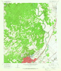 1964 San Marcos North1966 Print · USGSThe hill country transition near San Marcos and Kyle is documented here in the mid-1960s, showing the intersection of river, rail, and university life. Researchers can trace the grounds of Southwest Texas State College or find family sites at Kyle Cem and Guadalupe Cem.5 unique versions available
 - 1985 Map of New Braunfels
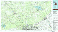 1985 New Braunfels1985 Print · USGSThe Texas Hill Country meets the growing San Antonio suburbs in the mid-1980s, showing a landscape of river-fed towns and military grounds. Trace family roots in historic Gruene or Boerne, and locate landmarks like Canyon Lake and Randolph Air Force Base.
 - 1985 Map of Seguin, 1986 Print
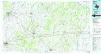 1985 Seguin1986 Print · USGSCentral Texas in the mid-1980s is defined by its vital oil industry and the crossroads of major interstate and rail networks. Genealogists and historians can trace the development of Luling Oil Field, identify the site of Old Flatonia, or locate family landmarks near St James and Palmetto State Park.2 unique versions available
 - 1992 Map of New Braunfels
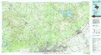 1992 New Braunfels1992 Print · USGSThe San Antonio and New Braunfels corridor was expanding rapidly in the early nineties, balancing heavy military presence with Hill Country recreation. Trace the footprint of CAMP BULLIS MILITARY RESERVATION or locate old railroad stops along the Southern Pacific and Missouri Pacific lines.2 unique versions available
 - 1995 Map of San Marcos North, 1998 Print
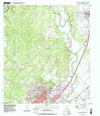 1995 San Marcos North1998 Print · USGSHays County at the end of the twentieth century shows a landscape defined by the growing corridor between San Marcos and Kyle. Trace family history at the San Vincente Cem or explore the riverfront developments near Spring Lake and Fivemile Dam Park.
 - 2010 Map of San Marcos North, 2010 Print
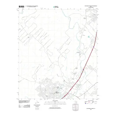 2010 San Marcos North2010 Print · USGSSan Marcos and Kyle appear at a moment of significant growth in the early twenty-first century, spanning from the university campus to the Blanco River. Researchers can trace historic preservation sites like the Belvin Street Historic District and local landmarks such as the Belger-Cahill Lime Kiln.
 - 2010 Map of San Marcos South, 2010 Print
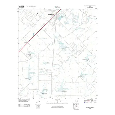 2010 San Marcos South2010 Print · USGSSouth of the San Marcos city center in 2010, the landscape is a mix of expanding retail corridors and rural water management. Researchers can locate family landmarks like Pitts Cemetery and Bading Cemetery or trace the drainage of Cottonwood Creek through numerous conservation reservoirs.
 - 2010 Map of Uhland, 2010 Print
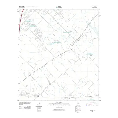 2010 Uhland2010 Print · USGSKyle and Uhland sit at the heart of this Central Texas landscape during a period of steady suburban transition. Researchers can trace rural family heritage at Live Oak Cemetery, Doyle Cemetery, and the historic settlements of Maxwell and Reedville.
 - 2010 Map of Hunter, 2010 Print
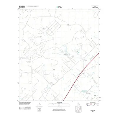 2010 Hunter2010 Print · USGSThe rural landscape between New Braunfels and San Marcos is captured here during a period of modern growth and conservation. Genealogists can locate several historic burial grounds including Rosenthal and Kellerman Cemetery, alongside landmarks like Hunter and Nail Hill.
 - 2013 Map of Uhland, 2013 Print
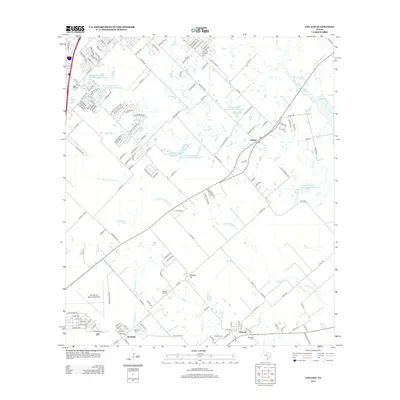 2013 Uhland2013 Print · USGSThe rural expanses between San Marcos and Lockhart are captured here in the early twenty-first century as suburban growth meets traditional Texas farm country. Researchers can locate several historic burial grounds like Live Oak Cem and Doyle Cem or trace the winding path of Plum Cr.
 - 2013 Map of San Marcos South, 2013 Print
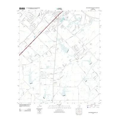 2013 San Marcos South2013 Print · USGSSan Marcos and its southern rural outskirts are shown in the early twenty-first century as modern retail development met traditional farming communities. Researchers can trace local lineage at Bading Cem or Crayton Cem and explore the industrial scale of the Wood State Fish Hatchery.
 - 2013 Map of San Marcos North, 2013 Print
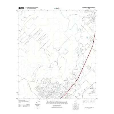 2013 San Marcos North2013 Print · USGSHays County at the start of the 2010s shows a landscape of historic preservation and modern expansion between Kyle and the river headwaters. Genealogists and historians can locate several burial sites like San Vincente Cemetery and explore the Hays County Courthouse Historic District.
 - 2013 Map of Hunter, 2013 Print
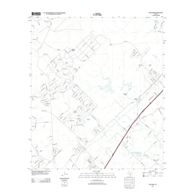 2013 Hunter2013 Print · USGSThe community of Hunter and the surrounding Hill Country ranchlands are shown here in the early 2010s as suburban growth meets rural tradition. Family historians can locate ancestral sites at Rosenthal Cem and Conrads Cem or trace the lands of the Wegner Ranch.
 - 2016 Map of San Marcos North, 2016 Print
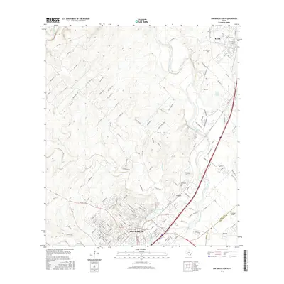 2016 San Marcos North2016 Print · USGSHays County at the height of its modern expansion shows the developing corridor between Austin and San Antonio. Researchers can trace the legacy of the Edwards Aquifer at San Marcos Springs or locate family roots at Guadalupe Cem and Kyle Cem.
 - 2016 Map of Hunter, 2016 Print
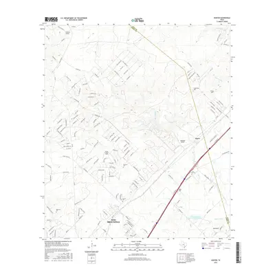 2016 Hunter2016 Print · USGSThe Comal and Hays County line near the Texas Hill Country shows a landscape of rapid suburban growth in the mid-2010s. Researchers can locate established burial sites like York Creek Cem and Rosenthal Cem or trace family landmarks like Coal Kiln Hill and Haley Tank.
Showing maps 1-25 of 35
Top cities near San Marcos
- New Braunfels historical maps
- Seguin historical maps
- Kyle historical maps
- Buda historical maps
- Lockhart historical maps
- Wimberley historical maps
See more
Top neighborhoods of San Marcos
- Centex historical maps
- Blanco Vista historical maps
- East Guadalupe historical maps
- Fairlawn historical maps
- Rio Vista historical maps
- Victory Gardens historical maps
See more
Frequently asked questions
- What are the different types of historical maps available for San Marcos?
- What is the oldest map of San Marcos?
- Where can I purchase historical maps of San Marcos for my home or office?
- Where can I download high-res historical maps of San Marcos?
- Are there historical topographic maps available for San Marcos?
- Is there historical aerial imagery available for San Marcos?
- Where are historical maps of San Marcos sourced from?