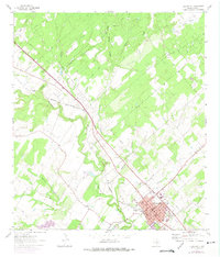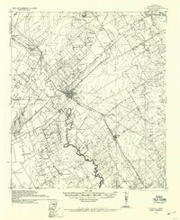
1936 Map of Floresville
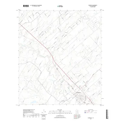
USGS Topo · Published 1958About this map
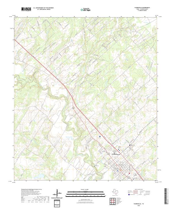
Floresville serves as the focal point of this South Texas landscape, where the San Antonio River meanders through a network of family ranches and rural school districts. The influence of early Spanish settlement is anchored by Mission de las Cabras on the river's western bluffs, while the industrial activity of the 1930s is represented by the Loma Vista Gin. The Southern Pacific System railroad provides the primary economic corridor, connecting the town of Poth and the settlement of Labatt to the wider region.
Find a feature on this map
46 named features on this map. Tap any name to fly to it.
Don’t see what you’re looking for? This feature index may not catch every label — zoom into the map to look around manually.
Map Details
Editions of this 1936 Floresville Map
This is the sole edition of this map. No revisions or reprints were ever made.
Historical Maps of Floresville Through Time
7 maps found