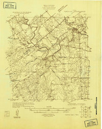
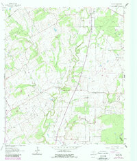
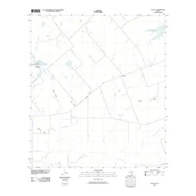
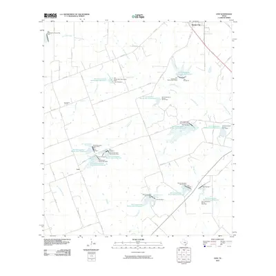
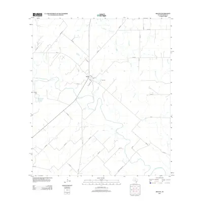
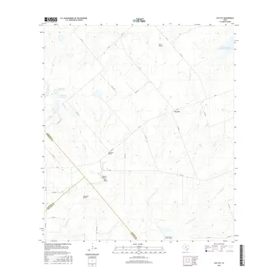
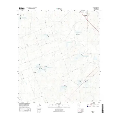
1925 Map of Tordia No. 1
USGS Topo · Published 1925About this map
The San Antonio River carves a winding path through the borderlands of Wilson and Karnes Counties, anchoring a landscape of rural schoolhouses and family settlements in the mid-1920s. Falls City serves as the primary population center, situated along the San Antonio and Aransas Pass RR near its namesake falls. This area, surveyed during the early years of aerial photogrammetry, reveals a network of community hubs like Froshinn Hall and scattered educational sites including Three Oaks School, Laake School, and Arnold School. Local geography is defined by family-named landmarks and watercourses such as Deweeville, the Dewee Ranch, and the descriptively named Scared Dog Creek. The importance of river crossings is evident at Mays Crossing, where a dedicated schoolhouse served the nearby agrarian population.
Find a feature on this map
17 named features on this map. Tap any name to fly to it.
Don’t see what you’re looking for? This feature index may not catch every label — zoom into the map to look around manually.
Map Details
Editions of this 1925 Tordia No. 1 Map
This is the sole edition of this map. No revisions or reprints were ever made.
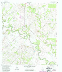
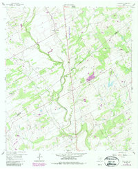
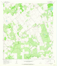
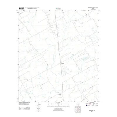
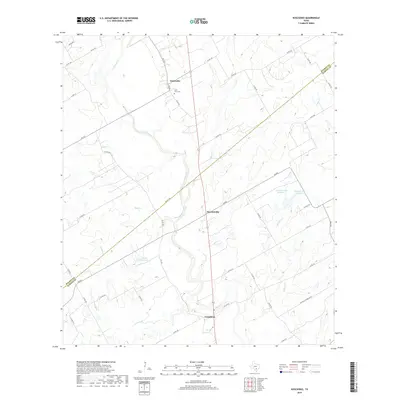
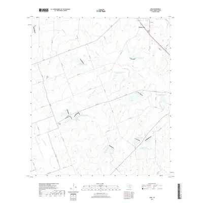
Historical Maps of Falls City Through Time
37 maps found
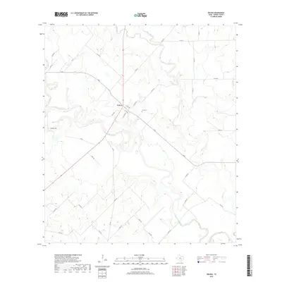
1925 Tordia No. 1
Karnes County, TX
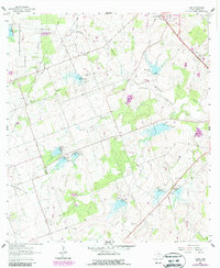
1960 Helena
Karnes County, TX
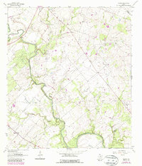
1960 Kosciusko
Karnes County, TX
1961 Coy City
Karnes County, TX
1961 Ecleto
Karnes County, TX
1961 Lenz
Karnes County, TX
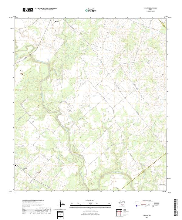
1963 Choate
Karnes County, TX
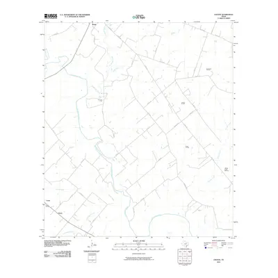
2010 Choate
Karnes County, TX
2010 Coy City
Karnes County, TX
2010 Ecleto
Karnes County, TX
2010 Helena
Karnes County, TX
2010 Kosciusko
Karnes County, TX
2010 Lenz
Karnes County, TX
2013 Choate
Karnes County, TX
2013 Coy City
Karnes County, TX
2013 Ecleto
Karnes County, TX
2013 Helena
Karnes County, TX
2013 Kosciusko
Karnes County, TX
2013 Lenz
Karnes County, TX
2016 Choate
Karnes County, TX
2016 Coy City
Karnes County, TX
2016 Ecleto
Karnes County, TX
2016 Helena
Karnes County, TX
2016 Kosciusko
Karnes County, TX
2016 Lenz
Karnes County, TX
2019 Choate
Karnes County, TX
2019 Coy City
Karnes County, TX
2019 Ecleto
Karnes County, TX
2019 Helena
Karnes County, TX
2019 Kosciusko
Karnes County, TX
2019 Lenz
Karnes County, TX
2022 Choate
Karnes County, TX
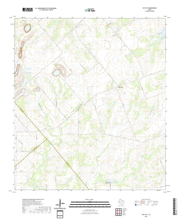
2022 Coy City
Karnes County, TX

2022 Ecleto
Karnes County, TX
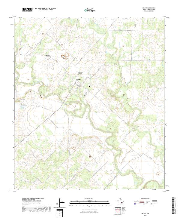
2022 Helena
Karnes County, TX
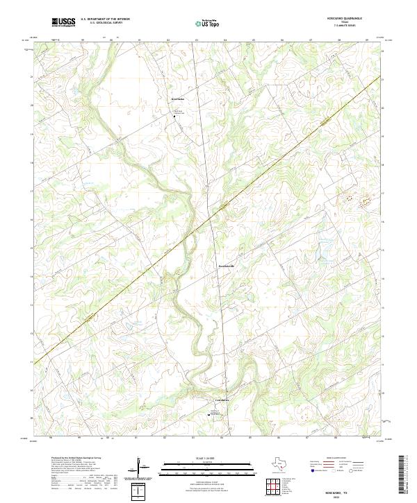
2022 Kosciusko
Karnes County, TX
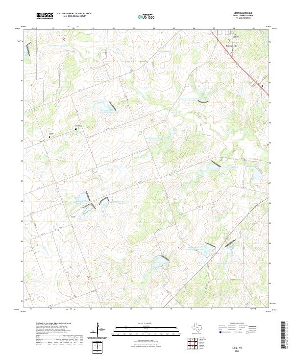
2022 Lenz
Karnes County, TX