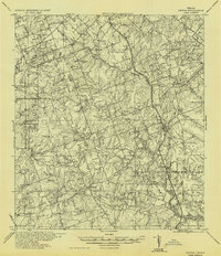
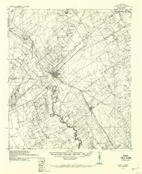
1956 Map of Karnes City
USGS Topo · Published 1956About this map
Panna Maria and Karnes City anchor this South Texas landscape where the Cibolo and San Antonio River converge. The settlement pattern reflects the complex social history of the region, featuring segregated educational facilities such as the Bridger School (Colored), New Bremen School (Mex), and Union Leader School (Mex). Transportation infrastructure is dominated by the Southern Pacific railroad lines and United States Highway No 181, which facilitated the movement of agricultural goods and people between local farmsteads like Pollock Farm and Salge Ranch. The terrain is characterized by winding creek beds including Escondido Creek and Ecleto Creek, which cut through the land around prominent landmarks like Lookout Hill. This military-derived survey preserves a snapshot of rural Texas life, capturing community hubs such as Germania Hall alongside small settlements like Hobson and Flaccus.
Find a feature on this map
83 named features on this map. Tap any name to fly to it.
Don’t see what you’re looking for? This feature index may not catch every label — zoom into the map to look around manually.
Map Details
Editions of this 1956 Karnes City Map
This is the sole edition of this map. No revisions or reprints were ever made.
Other maps of this area
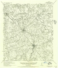
1920 · Smiley
USGS Topo · 1:125,000
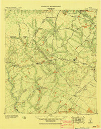
1925 · Tordia No. 1
USGS Topo · 1:48,000
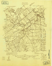
1931 · Falls City
USGS Topo · 1:62,500
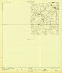
1936 · Pettus
USGS Topo · 1:62,500
1936 · Floresville
USGS Topo · 1:62,500

1953 · Crystal City
USGS Topo · 1:250,000

1953 · Beeville
USGS Topo · 1:250,000

1953 · Seguin
USGS Topo · 1:250,000

1954 · San Antonio
USGS Topo · 1:250,000

1955 · Crystal City
USGS Topo · 1:250,000