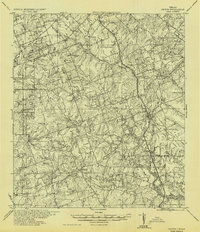
1936 Map of Pettus
USGS Topo · Published 1936About this map
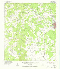
Pettus Oil Field and the Gray Oil Field anchor this industrial and agricultural landscape in South Texas during the mid-1930s. The region is defined by a dense network of family-named settlements and rural centers such as Monteola, Zunkerville, and Bainville. Movement across the county lines of Karnes and Bee follows the path of the Texas and New Orleans RR and U.S. Highway 181, which connect the town of Pettus to northern neighbors like Burnell and Green.
Find a feature on this map
66 named features on this map. Tap any name to fly to it.
Don’t see what you’re looking for? This feature index may not catch every label — zoom into the map to look around manually.
Map Details
Editions of this 1936 Pettus Map
This is the sole edition of this map. No revisions or reprints were ever made.
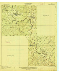
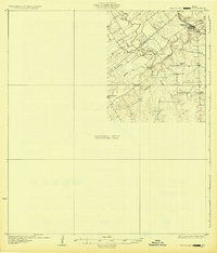
Other maps of this area

1920 · Mikeska
USGS Topo · 1:125,000
1927 · Oakville
USGS Topo · 1:62,500
1931 · Falls City
USGS Topo · 1:62,500

1953 · Crystal City
USGS Topo · 1:250,000

1953 · Beeville
USGS Topo · 1:250,000
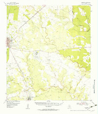
1954 · Skidmore
USGS Topo · 1:62,500
1954 · Fleming
USGS Topo · 1:62,500

1955 · Crystal City
USGS Topo · 1:250,000

1956 · Suniland
USGS Topo · 1:62,500

1956 · Beeville
USGS Topo · 1:250,000