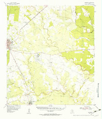
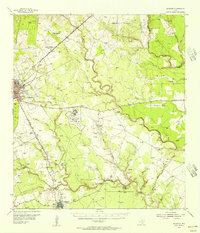
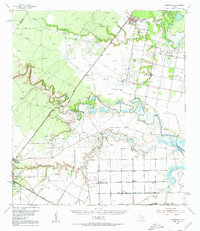
1954 Map of Skidmore
USGS Topo · Published 1956About this map
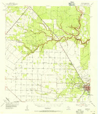
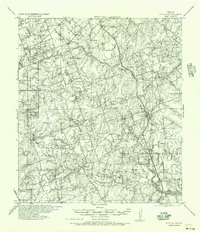
The Chase Field Naval Air Station anchors the central landscape of Bee County in the mid-1950s, a period when aviation and agriculture defined the region's character. To the northwest, the Beeville townsite sits at a significant rail junction where the Texas and New Orleans (Southern Pacific) railroad lines diverge. This survey captures a rural Texas economy transitioning from traditional ranching, evidenced by the Heard Ranch, to modern scientific farming at the Texas A & M College Agricultural Experimental Substation No 1.
Find a feature on this map
38 named features on this map. Tap any name to fly to it.
Don’t see what you’re looking for? This feature index may not catch every label — zoom into the map to look around manually.
Map Details
Editions of this 1954 Skidmore Map
2 editions found
Other maps of this area

1927 · Mathis
USGS Topo · 1:62,500
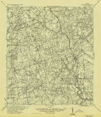
1936 · Pettus
USGS Topo · 1:62,500

1953 · Beeville
USGS Topo · 1:250,000
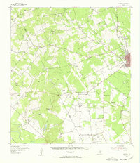
1954 · Fleming
USGS Topo · 1:62,500
1954 · Woodsboro
USGS Topo · 1:62,500
1954 · Mathis
USGS Topo · 1:62,500
1954 · Sinton
USGS Topo · 1:62,500
1954 · Refugio
USGS Topo · 1:62,500

1956 · Beeville
USGS Topo · 1:250,000
1956 · Pettus
USGS Topo · 1:62,500
Featured Places
- Beeville, TX
- Yougeen, TX
- Old Houston Highway Colonia, TX
- Skidmore, TX
- 1st, 2nd, and 3rd Street Area Colonia, TX