
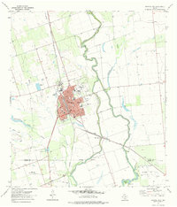
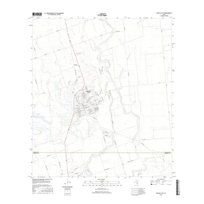
1953 Map of Crystal City
USGS Topo · Published 1953About this map
The Nueces River and Frio River basins define this South Texas landscape during a period of mid-century agricultural and industrial transition. Centered on Crystal City, the map documents the critical infrastructure of the era, including the International-Great Northern RR and the Pan American Highway, which served as the primary arteries for transporting the region's produce and oil.
Find a feature on this map
171 named features on this map. Tap any name to fly to it.
Don’t see what you’re looking for? This feature index may not catch every label — zoom into the map to look around manually.
Map Details
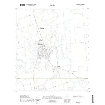
Editions of this 1953 Crystal City Map
This is the sole edition of this map. No revisions or reprints were ever made.
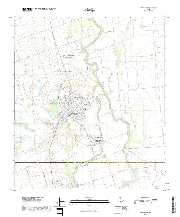
Historical Maps of Pleasanton Through Time
11 maps found
1953 Crystal City
Zavala County, TX

1955 Crystal City
Zavala County, TX

1961 Crystal City
Zavala County, TX

1968 Crystal City
Zavala County, TX
1972 Crystal City
Zavala County, TX
1985 Crystal City
Zavala County, TX
2010 Crystal City
Zavala County, TX
2013 Crystal City
Zavala County, TX
2016 Crystal City
Zavala County, TX
2019 Crystal City
Zavala County, TX
2022 Crystal City
Zavala County, TX