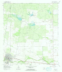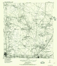
1920 Map of San Diego
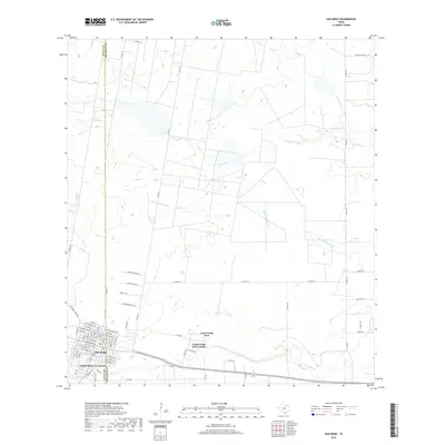
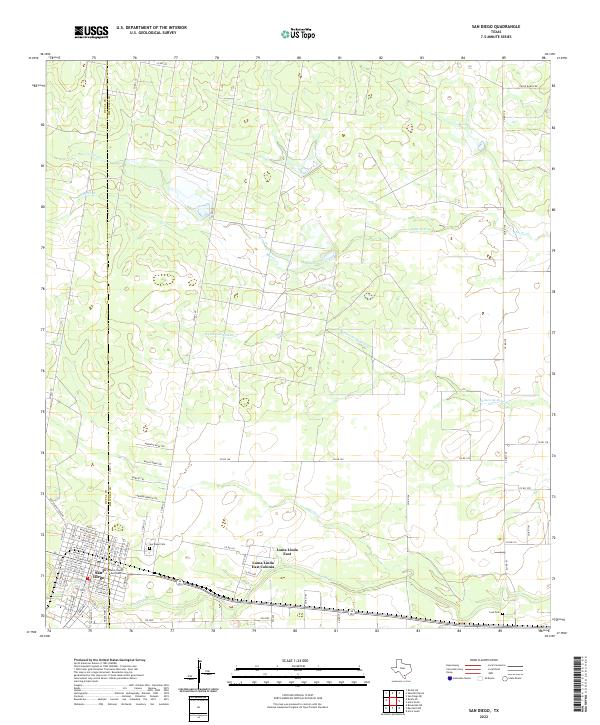
USGS Topo · Published 1957About this map
San Antonio and Aransas Pass Railroad and the Texas Mexican Railroad converge in this South Texas landscape, marking a pivotal junction for the region's early 20th-century economy. The survey, compiled under the direction of Col. F. C. Boggs and Capt. R. C. Kuldell of the Corps of Engineers, details a vast network of family-held ranches and settlements scattered across the terrain. From Bell Ranch in the north to Bentonville in the southeast, the map documents the transition from open range to established ranching estates like Luby Ranch and Pride Ranch. Water sources like Chitipin Cr. and Muerto Cr. provide the necessary lifeblood for these holdings. The presence of numerous named Mexican ranches, such as Sauseda R. and Villareal R., reflects the deep cultural and genealogical roots of the area's residents during this era of development.
Find a feature on this map
74 named features on this map. Tap any name to fly to it.
Don’t see what you’re looking for? This feature index may not catch every label — zoom into the map to look around manually.
Map Details
Editions of this 1920 San Diego Map
This is the sole edition of this map. No revisions or reprints were ever made.
Historical Maps of Alice Through Time
7 maps found